Area Overview for TQ5 9TF
Photos of TQ5 9TF
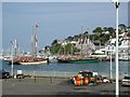
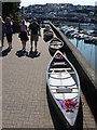
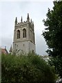
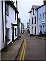
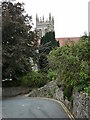
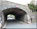

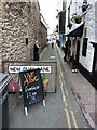
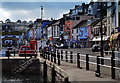
100 photos from this area
Area Information
Key information about the TQ5 9TF including its size, population, and administrative classification.
- Area Type
- Postcode
- Area Size
- 958 m²
- Population
- 1303
- Population Density
- 6138 people/km²
House Prices in TQ5 9TF
5
Properties
£262,500
Average Sold Price
£262,500
Lowest Price
£262,500
Highest Price
Showing 5 properties
| Address | Type | Beds | Baths | Last Sale Price | Last Sale Date | |
|---|---|---|---|---|---|---|
| House, The Coffin House, King Street, Brixham, TQ5 9TF | Detached | 2 | 1 | £262,500 | Dec 2021 | |
| Torbay And Dartmouth Power Boat School, King Street, Brixham, TQ5 9TF | assembly_leisure | - | - | - | - | |
| The Coffin House, King Street, Brixham, TQ5 9TF | restaurant_cafe | - | - | - | - | |
| Day Lewis Pharmacy, Compass House Medical Centre, King Street, Brixham, TQ5 9TF | commercial | - | - | - | - | |
| Hennessy Cocktails, King Street, Brixham, TQ5 9TF | Maisonette | - | - | - | - |
Energy Efficiency in TQ5 9TF
Amenities
Schools
| Rank | School | Type | Entry gender | Ages |
|---|
Explore more schools in this area
Go to Schools tabDemographics
Household Size
One person
most common
Accommodation Type
Houses
most common
Tenure
53
majority
Ethnic Group
White
most common
Religion
N/A
most common
Household Composition
N/A
most common
Age
47
median
Adults (30-64 years)
most common
Household Deprivation
N/A
with no deprivation
NS-SEC
25
in Lower managerial occupations
Explore more demographic insights in this area
Go to Demographics tabPlanning
Planning Constraints
- Flood RiskPremium
- Ramsar Wetland SitesPremium
- Area of Outstanding Natural BeautyPremium
- Protected Nature ReservePremium
- Protected WoodlandPremium