Area Overview for TQ5 9RU
Photos of TQ5 9RU
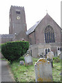
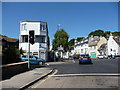
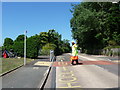
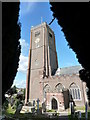
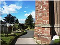
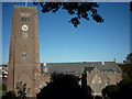
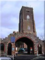
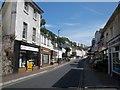
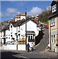
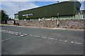
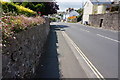
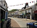
87 photos from this area
Area Information
Key information about the TQ5 9RU including its size, population, and administrative classification.
- Area Type
- Postcode
- Area Size
- 3180 m²
- Population
- 1303
- Population Density
- 6138 people/km²
House Prices in TQ5 9RU
17
Properties
£198,889
Average Sold Price
£81,000
Lowest Price
£440,000
Highest Price
Showing 17 properties
| Address | Type | Beds | Baths | Last Sale Price | Last Sale Date | |
|---|---|---|---|---|---|---|
| 103 Mount Pleasant Road, Brixham, TQ5 9RU | Terraced | 3 | 1 | £284,500 | Nov 2022 | |
| 111 Mount Pleasant Road, Brixham, TQ5 9RU | Terraced | 2 | 1 | £440,000 | Apr 2022 | |
| 109 Mount Pleasant Road, Brixham, TQ5 9RU | Terraced | 3 | 2 | £245,000 | Jul 2018 | |
| 87 Mount Pleasant Road, Brixham, TQ5 9RU | Terraced | 3 | 1 | £167,500 | May 2012 | |
| 95 Mount Pleasant Road, Brixham, TQ5 9RU | Terraced | 2 | 1 | £135,000 | Mar 2012 | |
| 105 Mount Pleasant Road, Brixham, TQ5 9RU | Terraced | 2 | 1 | £120,000 | May 2009 | |
| Perch Rock, 28 Mount Pleasant Road, Brixham, TQ5 9RU | Detached | - | - | £210,000 | Jan 2004 | |
| 101 Mount Pleasant Road, Brixham, TQ5 9RU | Terraced | 3 | 2 | £107,000 | Oct 2003 | |
| 97 Mount Pleasant Road, Brixham, TQ5 9RU | Terraced | - | - | £81,000 | Dec 2001 | |
| Linden, Mount Pleasant Road, Brixham, TQ5 9RU | Detached | 3 | 1 | - | - |
Page 1 of 2
Energy Efficiency in TQ5 9RU
Amenities
Schools
| Rank | School | Type | Entry gender | Ages |
|---|
Explore more schools in this area
Go to Schools tabDemographics
Household Size
One person
most common
Accommodation Type
Houses
most common
Tenure
53
majority
Ethnic Group
White
most common
Religion
N/A
most common
Household Composition
N/A
most common
Age
47
median
Adults (30-64 years)
most common
Household Deprivation
N/A
with no deprivation
NS-SEC
25
in Lower managerial occupations
Explore more demographic insights in this area
Go to Demographics tabPlanning
Planning Constraints
- Flood RiskPremium
- Ramsar Wetland SitesPremium
- Area of Outstanding Natural BeautyPremium
- Protected Nature ReservePremium
- Protected WoodlandPremium