Area Overview for TQ5 9LA
Photos of TQ5 9LA
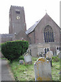
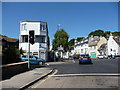
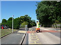
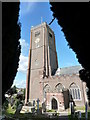
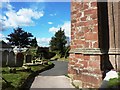
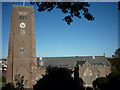
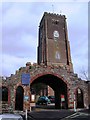
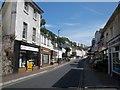
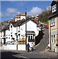
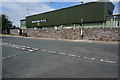
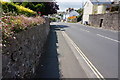
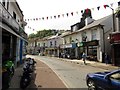
87 photos from this area
Area Information
Key information about the TQ5 9LA including its size, population, and administrative classification.
- Area Type
- Postcode
- Area Size
- 1.6 hectares
- Population
- 1445
- Population Density
- 6316 people/km²
House Prices in TQ5 9LA
66
Properties
£190,843
Average Sold Price
£32,000
Lowest Price
£580,000
Highest Price
Showing 66 properties
| Address | Type | Beds | Baths | Last Sale Price | Last Sale Date | |
|---|---|---|---|---|---|---|
| 67 Drew Street, Brixham, TQ5 9LA | Detached | 4 | 1 | £370,000 | Sep 2025 | |
| 55 Drew Street, Brixham, TQ5 9LA | Terraced | 2 | 2 | £215,000 | Jan 2025 | |
| 69 Drew Street, Brixham, TQ5 9LA | house | 5 | 2 | £580,000 | Nov 2023 | |
| 75A Drew Street, Brixham, TQ5 9LA | Terraced | 2 | 1 | £143,156 | Nov 2023 | |
| 33 Drew Street, Brixham, TQ5 9LA | Semi-detached | 4 | 1 | £365,000 | Oct 2023 | |
| 43 Drew Street, Brixham, TQ5 9LA | Terraced | 3 | 1 | £249,950 | Aug 2022 | |
| 59 Drew Street, Brixham, TQ5 9LA | Terraced | 3 | 2 | £250,000 | May 2022 | |
| 91 Drew Street, Brixham, TQ5 9LA | Semi-detached | 4 | 1 | £220,000 | Feb 2022 | |
| Fairholme, Drew Street, Brixham, TQ5 9LA | Semi-detached | 3 | 2 | £315,000 | May 2021 | |
| 81 Drew Street, Brixham, TQ5 9LA | Terraced | 2 | 1 | £140,000 | Jun 2020 |
Page 1 of 7
Energy Efficiency in TQ5 9LA
Amenities
Schools
| Rank | School | Type | Entry gender | Ages |
|---|
Explore more schools in this area
Go to Schools tabDemographics
Household Size
One person
most common
Accommodation Type
Houses
most common
Tenure
59
majority
Ethnic Group
White
most common
Religion
N/A
most common
Household Composition
N/A
most common
Age
47
median
Adults (30-64 years)
most common
Household Deprivation
N/A
with no deprivation
NS-SEC
21
in Lower managerial occupations
Explore more demographic insights in this area
Go to Demographics tabPlanning
Planning Constraints
- Flood RiskPremium
- Ramsar Wetland SitesPremium
- Area of Outstanding Natural BeautyPremium
- Protected Nature ReservePremium
- Protected WoodlandPremium