Area Overview for TQ5 9JS
Photos of TQ5 9JS
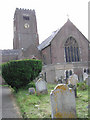
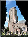
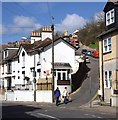
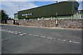
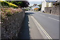
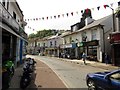
87 photos from this area
Area Information
Key information about the TQ5 9JS including its size, population, and administrative classification.
- Area Type
- Postcode
- Area Size
- 3431 m²
- Population
- 1323
- Population Density
- 4686 people/km²
House Prices in TQ5 9JS
16
Properties
£223,386
Average Sold Price
£99,950
Lowest Price
£784,000
Highest Price
Showing 16 properties
| Address | Type | Beds | Baths | Last Sale Price | Last Sale Date | |
|---|---|---|---|---|---|---|
| 24 Parkham Glade, Brixham, TQ5 9JS | Terraced | 3 | 1 | £146,963 | Apr 2025 | |
| 15 Parkham Glade, Brixham, TQ5 9JS | house | - | - | £230,000 | Sep 2024 | |
| 25 Parkham Glade, Brixham, TQ5 9JS | house | - | - | £784,000 | May 2024 | |
| 21 Parkham Glade, Brixham, TQ5 9JS | Terraced | 3 | 2 | £239,950 | Sep 2021 | |
| 13 Parkham Glade, Brixham, TQ5 9JS | house | - | - | £200,000 | Jun 2021 | |
| 23 Parkham Glade, Brixham, TQ5 9JS | house | 3 | - | £150,000 | Jun 2011 | |
| 19 Parkham Glade, Brixham, TQ5 9JS | house | 3 | - | £145,000 | Oct 2010 | |
| 16 Parkham Glade, Brixham, TQ5 9JS | Terraced | 3 | - | £136,000 | Nov 2003 | |
| 14 Parkham Glade, Brixham, TQ5 9JS | house | 3 | 1 | £102,000 | Nov 2002 | |
| 11 Parkham Glade, Brixham, TQ5 9JS | Terraced | - | - | £99,950 | Jun 2002 |
Page 1 of 2
Energy Efficiency in TQ5 9JS
Amenities
Schools
| Rank | School | Type | Entry gender | Ages |
|---|
Explore more schools in this area
Go to Schools tabDemographics
Household Size
One person
most common
Accommodation Type
Houses
most common
Tenure
62
majority
Ethnic Group
White
most common
Religion
N/A
most common
Household Composition
N/A
most common
Age
47
median
Adults (30-64 years)
most common
Household Deprivation
N/A
with no deprivation
NS-SEC
29
in Lower managerial occupations
Explore more demographic insights in this area
Go to Demographics tabPlanning
Planning Constraints
- Flood RiskPremium
- Ramsar Wetland SitesPremium
- Area of Outstanding Natural BeautyPremium
- Protected Nature ReservePremium
- Protected WoodlandPremium