Area Overview for TQ5 9ED
Photos of TQ5 9ED
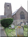
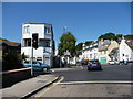
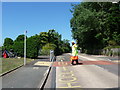
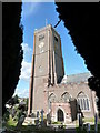
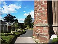
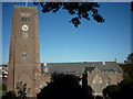
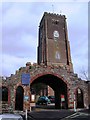
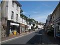
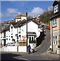
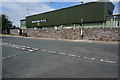
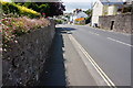
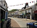
87 photos from this area
Area Information
Key information about the TQ5 9ED including its size, population, and administrative classification.
- Area Type
- Postcode
- Area Size
- 1.7 hectares
- Population
- 1372
- Population Density
- 1358 people/km²
House Prices in TQ5 9ED
25
Properties
£202,572
Average Sold Price
£53,500
Lowest Price
£295,000
Highest Price
Showing 25 properties
| Address | Type | Beds | Baths | Last Sale Price | Last Sale Date | |
|---|---|---|---|---|---|---|
| 51 Rea Barn Road, Brixham, TQ5 9ED | Semi-detached | 3 | 1 | £263,250 | Nov 2023 | |
| 43 Rea Barn Road, Brixham, TQ5 9ED | Semi-detached | 3 | 1 | £295,000 | Sep 2023 | |
| 33 Rea Barn Road, Brixham, TQ5 9ED | house | - | - | £224,500 | Sep 2021 | |
| 67 Rea Barn Road, Brixham, TQ5 9ED | Semi-detached | 4 | 1 | £295,000 | Aug 2020 | |
| 65 Rea Barn Road, Brixham, TQ5 9ED | Semi-detached | 3 | 1 | £280,000 | Feb 2019 | |
| 71A Rea Barn Road, Brixham, TQ5 9ED | Terraced | 5 | 3 | £255,000 | Jan 2018 | |
| 49 Rea Barn Road, Brixham, TQ5 9ED | Semi-detached | 4 | 2 | £227,000 | Nov 2016 | |
| 39 Rea Barn Road, Brixham, TQ5 9ED | house | 3 | 1 | £220,000 | Nov 2014 | |
| 71 Rea Barn Road, Brixham, TQ5 9ED | Terraced | 2 | 1 | £141,000 | Jul 2014 | |
| 53 Rea Barn Road, Brixham, TQ5 9ED | Semi-detached | 3 | - | £165,000 | Dec 2011 |
Page 1 of 3
Energy Efficiency in TQ5 9ED
Amenities
Schools
| Rank | School | Type | Entry gender | Ages |
|---|
Explore more schools in this area
Go to Schools tabDemographics
Household Size
Two person
most common
Accommodation Type
Houses
most common
Tenure
73
majority
Ethnic Group
White
most common
Religion
N/A
most common
Household Composition
N/A
most common
Age
47
median
Adults (30-64 years)
most common
Household Deprivation
N/A
with no deprivation
NS-SEC
28
in Lower managerial occupations
Explore more demographic insights in this area
Go to Demographics tabPlanning
Planning Constraints
- Flood RiskPremium
- Ramsar Wetland SitesPremium
- Area of Outstanding Natural BeautyPremium
- Protected Nature ReservePremium
- Protected WoodlandPremium