Area Overview for TQ5 8RJ
Photos of TQ5 8RJ
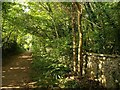
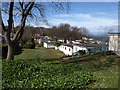
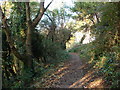
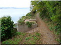
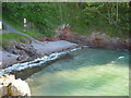
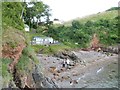
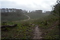
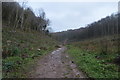
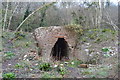
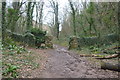
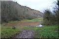
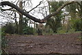
78 photos from this area
Area Information
Key information about the TQ5 8RJ including its size, population, and administrative classification.
- Area Type
- Postcode
- Area Size
- 3905 m²
- Population
- 1504
- Population Density
- 3791 people/km²
House Prices in TQ5 8RJ
17
Properties
£109,948
Average Sold Price
£133
Lowest Price
£235,000
Highest Price
Showing 17 properties
| Address | Type | Beds | Baths | Last Sale Price | Last Sale Date | |
|---|---|---|---|---|---|---|
| 90 Northfields Lane, Brixham, TQ5 8RJ | Terraced | - | - | £133 | Aug 2021 | |
| 135 Northfields Lane, Brixham, TQ5 8RJ | Bungalow | 2 | 1 | £235,000 | Aug 2017 | |
| 88 Northfields Lane, Brixham, TQ5 8RJ | Flat | 3 | 1 | £158,000 | Jan 2017 | |
| 104 Northfields Lane, Brixham, TQ5 8RJ | Terraced | - | - | £138,000 | Aug 2008 | |
| 118 Northfields Lane, Brixham, TQ5 8RJ | Terraced | - | - | £149,950 | Jan 2006 | |
| 100 Northfields Lane, Brixham, TQ5 8RJ | Terraced | 3 | 1 | £120,000 | Mar 2004 | |
| 102 Northfields Lane, Brixham, TQ5 8RJ | house | 3 | 1 | £68,500 | Jun 2001 | |
| 120 Northfields Lane, Brixham, TQ5 8RJ | house | 3 | 1 | £60,000 | Mar 2001 | |
| 106 Northfields Lane, Brixham, TQ5 8RJ | Terraced | - | - | £59,950 | Oct 1999 | |
| 116 Northfields Lane, Brixham, TQ5 8RJ | Terraced | 3 | 1 | - | - |
Page 1 of 2
Energy Efficiency in TQ5 8RJ
Amenities
Schools
| Rank | School | Type | Entry gender | Ages |
|---|
Explore more schools in this area
Go to Schools tabDemographics
Household Size
Two person
most common
Accommodation Type
Houses
most common
Tenure
74
majority
Ethnic Group
White
most common
Religion
N/A
most common
Household Composition
N/A
most common
Age
47
median
Adults (30-64 years)
most common
Household Deprivation
N/A
with no deprivation
NS-SEC
27
in Lower managerial occupations
Explore more demographic insights in this area
Go to Demographics tabPlanning
Planning Constraints
- Flood RiskPremium
- Ramsar Wetland SitesPremium
- Area of Outstanding Natural BeautyPremium
- Protected Nature ReservePremium
- Protected WoodlandPremium