Area Overview for TQ4 7JT
Photos of TQ4 7JT
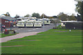
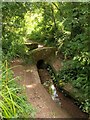
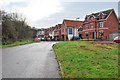
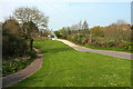
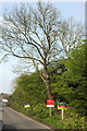

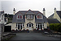
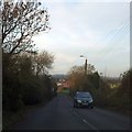
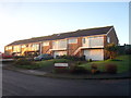
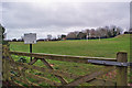
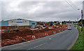
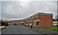
21 photos from this area
Area Information
Key information about the TQ4 7JT including its size, population, and administrative classification.
- Area Type
- Postcode
- Area Size
- 3.8 hectares
- Population
- 1575
- Population Density
- 1641 people/km²
House Prices in TQ4 7JT
9
Properties
£222,363
Average Sold Price
£77,000
Lowest Price
£385,000
Highest Price
Showing 9 properties
| Address | Type | Beds | Baths | Last Sale Price | Last Sale Date | |
|---|---|---|---|---|---|---|
| 9 Grange Road, Paignton, TQ4 7JT | Semi-detached | 2 | 2 | £234,950 | May 2019 | |
| 15 Grange Road, Paignton, TQ4 7JT | Bungalow | - | - | £385,000 | Apr 2018 | |
| 7 Grange Road, Paignton, TQ4 7JT | Semi-detached | 2 | 1 | £192,500 | Jul 2016 | |
| 3 Grange Road, Paignton, TQ4 7JT | Mobile Home | 2 | 2 | £77,000 | Mar 2001 | |
| 12 Grange Road, Paignton, TQ4 7JT | Mobile Home | 3 | 2 | - | - | |
| House, 15 Grange Road, Paignton, TQ4 7JT | Bungalow | 5 | 3 | - | - | |
| 5 Grange Road, Paignton, TQ4 7JT | Semi-detached | - | - | - | - | |
| The Annexe, 15 Grange Road, Paignton, TQ4 7JT | Flat | - | - | - | - | |
| Golf Products Uk, Torbay Golf Centre Ltd, Grange Road, Paignton, TQ4 7JT | shop | - | - | - | - |
Energy Efficiency in TQ4 7JT
Amenities
Schools
| Rank | School | Type | Entry gender | Ages |
|---|
Explore more schools in this area
Go to Schools tabDemographics
Household Size
Two person
most common
Accommodation Type
Houses
most common
Tenure
78
majority
Ethnic Group
White
most common
Religion
N/A
most common
Household Composition
N/A
most common
Age
47
median
Adults (30-64 years)
most common
Household Deprivation
N/A
with no deprivation
NS-SEC
31
in Lower managerial occupations
Explore more demographic insights in this area
Go to Demographics tabPlanning
Planning Constraints
- Flood RiskPremium
- Ramsar Wetland SitesPremium
- Area of Outstanding Natural BeautyPremium
- Protected Nature ReservePremium
- Protected WoodlandPremium