Area Overview for TQ3 3XD
Photos of TQ3 3XD
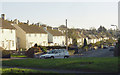
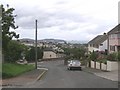
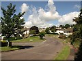
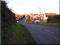
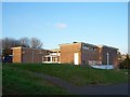
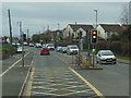
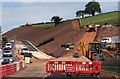
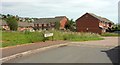
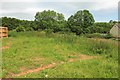
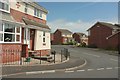
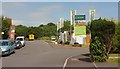
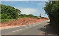
94 photos from this area
Area Information
Key information about the TQ3 3XD including its size, population, and administrative classification.
- Area Type
- Postcode
- Area Size
- 7152 m²
- Population
- 1579
- Population Density
- 6563 people/km²
House Prices in TQ3 3XD
18
Properties
£145,375
Average Sold Price
£49,000
Lowest Price
£230,000
Highest Price
Showing 18 properties
| Address | Type | Beds | Baths | Last Sale Price | Last Sale Date | |
|---|---|---|---|---|---|---|
| 52 Fernicombe Road, Paignton, TQ3 3XD | Retail | 3 | 1 | £230,000 | Nov 2022 | |
| 67 Fernicombe Road, Paignton, TQ3 3XD | Terraced | 3 | 1 | £174,000 | Oct 2018 | |
| 69 Fernicombe Road, Paignton, TQ3 3XD | Terraced | 3 | - | £160,000 | Oct 2017 | |
| 62 Fernicombe Road, Paignton, TQ3 3XD | Semi-detached | 2 | - | £133,000 | Jun 2014 | |
| 73 Fernicombe Road, Paignton, TQ3 3XD | Bungalow | - | - | £136,000 | Dec 2009 | |
| 63 Fernicombe Road, Paignton, TQ3 3XD | house | - | - | £122,000 | Jul 2009 | |
| 58 Fernicombe Road, Paignton, TQ3 3XD | Bungalow | - | - | £159,000 | Jun 2006 | |
| 65 Fernicombe Road, Paignton, TQ3 3XD | Terraced | - | - | £49,000 | Oct 1997 | |
| 61 Fernicombe Road, Paignton, TQ3 3XD | Semi-detached | 3 | 1 | - | - | |
| 59 Fernicombe Road, Paignton, TQ3 3XD | Semi-detached | - | - | - | - |
Page 1 of 2
Energy Efficiency in TQ3 3XD
Amenities
Schools
| Rank | School | Type | Entry gender | Ages |
|---|
Explore more schools in this area
Go to Schools tabDemographics
Household Size
Family (3-5 people)
most common
Accommodation Type
Houses
most common
Tenure
58
majority
Ethnic Group
White
most common
Religion
N/A
most common
Household Composition
N/A
most common
Age
47
median
Adults (30-64 years)
most common
Household Deprivation
N/A
with no deprivation
NS-SEC
22
in Lower managerial occupations
Explore more demographic insights in this area
Go to Demographics tabPlanning
Planning Constraints
- Flood RiskPremium
- Ramsar Wetland SitesPremium
- Area of Outstanding Natural BeautyPremium
- Protected Nature ReservePremium
- Protected WoodlandPremium