Area Overview for TQ2 8EA
Photos of TQ2 8EA
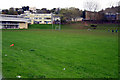
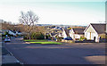
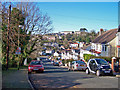
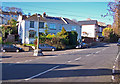
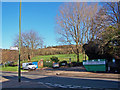
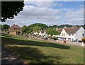
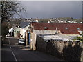
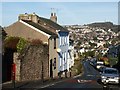
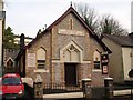


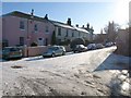
100 photos from this area
Area Information
Key information about the TQ2 8EA including its size, population, and administrative classification.
- Area Type
- Postcode
- Area Size
- 2.9 hectares
- Population
- 1357
- Population Density
- 4435 people/km²
House Prices in TQ2 8EA
53
Properties
£159,641
Average Sold Price
£54,000
Lowest Price
£340,000
Highest Price
Showing 53 properties
| Address | Type | Beds | Baths | Last Sale Price | Last Sale Date | |
|---|---|---|---|---|---|---|
| 60 Combe Lane, Torquay, TQ2 8EA | Retail | 3 | 1 | £230,000 | Aug 2022 | |
| 82 Combe Lane, Torquay, TQ2 8EA | Semi-detached | 3 | 1 | £250,000 | Sep 2021 | |
| 58 Combe Lane, Torquay, TQ2 8EA | Terraced | 3 | 1 | £154,950 | Nov 2020 | |
| 54 Combe Lane, Torquay, TQ2 8EA | Detached | 3 | 2 | £320,000 | Aug 2019 | |
| 86 Combe Lane, Torquay, TQ2 8EA | Semi-detached | 3 | 1 | £162,500 | May 2019 | |
| 115 Combe Lane, Torquay, TQ2 8EA | Bungalow | - | - | £340,000 | Jan 2019 | |
| 90 Combe Lane, Torquay, TQ2 8EA | Detached | 3 | 1 | £175,500 | Aug 2018 | |
| 76 Combe Lane, Torquay, TQ2 8EA | Semi-detached | 3 | - | £268,000 | Apr 2017 | |
| 88 Combe Lane, Torquay, TQ2 8EA | Detached | 4 | 2 | £250,000 | Jan 2015 | |
| 129 Combe Lane, Torquay, TQ2 8EA | Terraced | 5 | 2 | £174,500 | Feb 2014 |
Page 1 of 6
Energy Efficiency in TQ2 8EA
Amenities
Schools
| Rank | School | Type | Entry gender | Ages |
|---|
Explore more schools in this area
Go to Schools tabDemographics
Household Size
Two person
most common
Accommodation Type
Houses
most common
Tenure
65
majority
Ethnic Group
White
most common
Religion
N/A
most common
Household Composition
N/A
most common
Age
47
median
Adults (30-64 years)
most common
Household Deprivation
N/A
with no deprivation
NS-SEC
31
in Lower managerial occupations
Explore more demographic insights in this area
Go to Demographics tabPlanning
Planning Constraints
- Flood RiskPremium
- Ramsar Wetland SitesPremium
- Area of Outstanding Natural BeautyPremium
- Protected Nature ReservePremium
- Protected WoodlandPremium