Area Overview for TQ2 7EG
Photos of TQ2 7EG
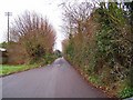
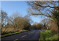
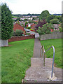
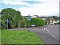
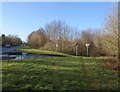
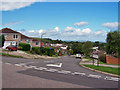
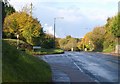
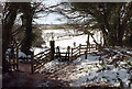
100 photos from this area
Area Information
Key information about the TQ2 7EG including its size, population, and administrative classification.
- Area Type
- Postcode
- Area Size
- 6939 m²
- Population
- 1506
- Population Density
- 5853 people/km²
House Prices in TQ2 7EG
18
Properties
£174,139
Average Sold Price
£44,000
Lowest Price
£260,000
Highest Price
Showing 18 properties
| Address | Type | Beds | Baths | Last Sale Price | Last Sale Date | |
|---|---|---|---|---|---|---|
| 123 Marldon Road, Torquay, TQ2 7EG | Terraced | 3 | 1 | £230,000 | Jun 2024 | |
| 109A Marldon Road, Torquay, TQ2 7EG | Bungalow | 4 | 1 | £162,000 | Jan 2023 | |
| 113 Marldon Road, Torquay, TQ2 7EG | Semi-detached | 3 | 1 | £235,000 | Oct 2019 | |
| 97 Marldon Road, Torquay, TQ2 7EG | Semi-detached | 3 | 1 | £238,000 | Sep 2018 | |
| 103 Marldon Road, Torquay, TQ2 7EG | Semi-detached | 4 | 1 | £260,000 | Jul 2018 | |
| 95 Marldon Road, Torquay, TQ2 7EG | Semi-detached | 3 | 1 | £200,000 | Sep 2016 | |
| 115 Marldon Road, Torquay, TQ2 7EG | Semi-detached | 3 | - | £185,000 | Nov 2013 | |
| 105 Marldon Road, Torquay, TQ2 7EG | house | 3 | - | £186,000 | Apr 2010 | |
| 111 Marldon Road, Torquay, TQ2 7EG | house | - | - | £199,000 | Apr 2007 | |
| 101 Marldon Road, Torquay, TQ2 7EG | house | - | - | £187,000 | May 2006 |
Page 1 of 2
Energy Efficiency in TQ2 7EG
Amenities
Schools
| Rank | School | Type | Entry gender | Ages |
|---|
Explore more schools in this area
Go to Schools tabDemographics
Household Size
Family (3-5 people)
most common
Accommodation Type
Houses
most common
Tenure
59
majority
Ethnic Group
White
most common
Religion
N/A
most common
Household Composition
N/A
most common
Age
47
median
Adults (30-64 years)
most common
Household Deprivation
N/A
with no deprivation
NS-SEC
25
in Lower managerial occupations
Explore more demographic insights in this area
Go to Demographics tabPlanning
Planning Constraints
- Flood RiskPremium
- Ramsar Wetland SitesPremium
- Area of Outstanding Natural BeautyPremium
- Protected Nature ReservePremium
- Protected WoodlandPremium