Area Overview for TQ14 9QA
Photos of TQ14 9QA
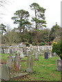

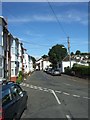
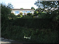
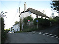
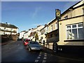
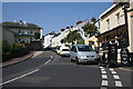
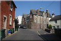
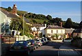
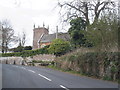
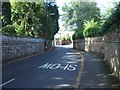
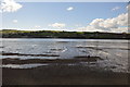
74 photos from this area
Area Information
Key information about the TQ14 9QA including its size, population, and administrative classification.
- Area Type
- Postcode
- Area Size
- 26.8 hectares
- Population
- 1075
- Population Density
- 88 people/km²
House Prices in TQ14 9QA
8
Properties
£265,333
Average Sold Price
£75,000
Lowest Price
£485,000
Highest Price
Showing 8 properties
| Address | Type | Beds | Baths | Last Sale Price | Last Sale Date | |
|---|---|---|---|---|---|---|
| Haldon View, Coombe Way, Bishopsteignton, TQ14 9QA | Semi-detached | 4 | 2 | £485,000 | Jun 2025 | |
| Withy Cottage, Coombe Way, Bishopsteignton, TQ14 9QA | Detached | 5 | 3 | £475,000 | Apr 2019 | |
| Shambles Cottage, Coombe Way, Bishopsteignton, TQ14 9QA | Semi-detached | - | - | £200,000 | Dec 2015 | |
| Summerhill, Coombe Way, Bishopsteignton, TQ14 9QA | Bungalow | 5 | - | £250,000 | Oct 2014 | |
| 2, Coombe Cottages, Coombe Way, Bishopsteignton, TQ14 9QA | house | - | - | £75,000 | Aug 2001 | |
| Fairview, Coombe Way, Bishopsteignton, TQ14 9QA | Bungalow | 4 | 2 | £107,000 | Aug 1995 | |
| 1, Coombe Cottages, Coombe Way, Bishopsteignton, TQ14 9QA | house | - | - | - | - | |
| The Flat, Hideaway, Coombe Way, Bishopsteignton, TQ14 9QA | Flat | - | - | - | - |
Energy Efficiency in TQ14 9QA
Amenities
Schools
| Rank | School | Type | Entry gender | Ages |
|---|
Explore more schools in this area
Go to Schools tabDemographics
Household Size
Two person
most common
Accommodation Type
Houses
most common
Tenure
86
majority
Ethnic Group
White
most common
Religion
N/A
most common
Household Composition
N/A
most common
Age
47
median
Adults (30-64 years)
most common
Household Deprivation
N/A
with no deprivation
NS-SEC
42
in Lower managerial occupations
Explore more demographic insights in this area
Go to Demographics tabPlanning
Planning Constraints
- Flood RiskPremium
- Ramsar Wetland SitesPremium
- Area of Outstanding Natural BeautyPremium
- Protected Nature ReservePremium
- Protected WoodlandPremium