Area Overview for TQ14 8AE
Photos of TQ14 8AE
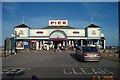
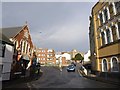
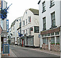
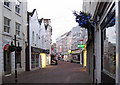
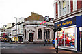
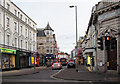
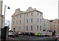
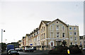
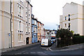
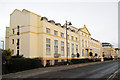
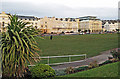
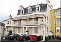
100 photos from this area
Area Information
Key information about the TQ14 8AE including its size, population, and administrative classification.
- Area Type
- Postcode
- Area Size
- 3479 m²
- Population
- 1745
- Population Density
- 5212 people/km²
House Prices in TQ14 8AE
20
Properties
£169,181
Average Sold Price
£99,450
Lowest Price
£269,000
Highest Price
Showing 20 properties
| Address | Type | Beds | Baths | Last Sale Price | Last Sale Date | |
|---|---|---|---|---|---|---|
| Beachley, 3A Brunswick Street, Teignmouth, TQ14 8AE | Flat | - | - | £235,000 | May 2024 | |
| 9 Brunswick Street, Teignmouth, TQ14 8AE | house | - | - | £200,000 | May 2021 | |
| 7 Brunswick Street, Teignmouth, TQ14 8AE | Terraced | 3 | 2 | £269,000 | Nov 2019 | |
| 3C Brunswick Street, Teignmouth, TQ14 8AE | Flat | - | - | £120,000 | Jul 2015 | |
| 15 Brunswick Street, Teignmouth, TQ14 8AE | Terraced | 2 | - | £190,000 | Sep 2014 | |
| 11 Brunswick Street, Teignmouth, TQ14 8AE | Terraced | - | - | £130,000 | Apr 2004 | |
| 13 Brunswick Street, Teignmouth, TQ14 8AE | house | 2 | - | £110,000 | Jun 2002 | |
| 2 Brunswick Street, Teignmouth, TQ14 8AE | house | - | - | £99,450 | Oct 1995 | |
| Flat 4, 1 Brunswick Street, Teignmouth, TQ14 8AE | Flat | 1 | 1 | - | - | |
| 19 Brunswick Street, Teignmouth, TQ14 8AE | Terraced | - | - | - | - |
Page 1 of 2
Energy Efficiency in TQ14 8AE
Amenities
Schools
| Rank | School | Type | Entry gender | Ages |
|---|
Explore more schools in this area
Go to Schools tabDemographics
Household Size
One person
most common
Accommodation Type
Flats
most common
Tenure
44
majority
Ethnic Group
White
most common
Religion
N/A
most common
Household Composition
N/A
most common
Age
47
median
Adults (30-64 years)
most common
Household Deprivation
N/A
with no deprivation
NS-SEC
27
in Lower managerial occupations
Explore more demographic insights in this area
Go to Demographics tabPlanning
Planning Constraints
- Flood RiskPremium
- Ramsar Wetland SitesPremium
- Area of Outstanding Natural BeautyPremium
- Protected Nature ReservePremium
- Protected WoodlandPremium