Area Overview for TQ14 0HP
Photos of TQ14 0HP
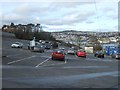
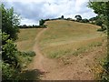
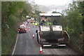
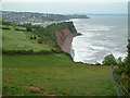
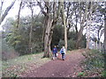
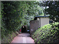
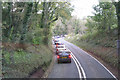
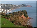
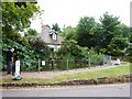
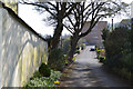
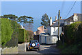
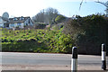
100 photos from this area
Area Information
Key information about the TQ14 0HP including its size, population, and administrative classification.
- Area Type
- Postcode
- Area Size
- 19.7 hectares
- Population
- 1215
- Population Density
- 152 people/km²
House Prices in TQ14 0HP
7
Properties
£245,000
Average Sold Price
£150,000
Lowest Price
£340,000
Highest Price
Showing 7 properties
| Address | Type | Beds | Baths | Last Sale Price | Last Sale Date | |
|---|---|---|---|---|---|---|
| Ness Dene, Ness Drive, Shaldon, TQ14 0HP | Detached | 3 | 3 | £340,000 | Dec 2015 | |
| Ness Farm House, Ness Drive, Shaldon, TQ14 0HP | Detached | 3 | 3 | £150,000 | Dec 1999 | |
| Ness Studio, Ness Drive, Shaldon, TQ14 0HP | Bungalow | - | - | - | - | |
| Two Beach Brewing Company Ltd, Cafe Ode, Ness Drive, Shaldon, TQ14 0HP | Restaurant | - | - | - | - | |
| Public Convenience, Marine Parade, Shaldon, TQ14 0HP | commercial | - | - | - | - | |
| Ness House Hotel, Ness Drive, Shaldon, TQ14 0HP | hotel | - | - | - | - | |
| Sea Scout Hut, Tdc Upper Ness Car Park, Ness Drive, Shaldon, TQ14 0HP | Leisure | - | - | - | - |
Energy Efficiency in TQ14 0HP
Amenities
Schools
| Rank | School | Type | Entry gender | Ages |
|---|
Explore more schools in this area
Go to Schools tabDemographics
Household Size
Two person
most common
Accommodation Type
Houses
most common
Tenure
82
majority
Ethnic Group
White
most common
Religion
N/A
most common
Household Composition
N/A
most common
Age
47
median
Adults (30-64 years)
most common
Household Deprivation
N/A
with no deprivation
NS-SEC
44
in Lower managerial occupations
Explore more demographic insights in this area
Go to Demographics tabPlanning
Planning Constraints
- Flood RiskPremium
- Ramsar Wetland SitesPremium
- Area of Outstanding Natural BeautyPremium
- Protected Nature ReservePremium
- Protected WoodlandPremium