Area Overview for TQ13 9SP
Photos of TQ13 9SP
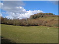
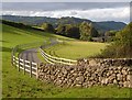
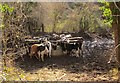
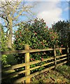
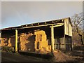
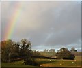
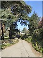
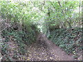
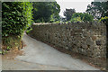
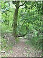
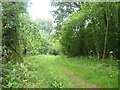
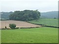
72 photos from this area
Area Information
Key information about the TQ13 9SP including its size, population, and administrative classification.
- Area Type
- Postcode
- Area Size
- 98.9 hectares
- Population
- 1415
- Population Density
- 45 people/km²
House Prices in TQ13 9SP
18
Properties
£933,000
Average Sold Price
£240,000
Lowest Price
£3,250,000
Highest Price
Showing 18 properties
| Address | Type | Beds | Baths | Last Sale Price | Last Sale Date | |
|---|---|---|---|---|---|---|
| Nutcombe, Knowle Road, Lustleigh, TQ13 9SP | Detached | 4 | 2 | £1,025,000 | Jun 2025 | |
| Higher Knowle, Knowle Road, Lustleigh, TQ13 9SP | house | - | - | £3,250,000 | Aug 2022 | |
| Robin Hill, Knowle Road, Lustleigh, TQ13 9SP | Detached | 5 | 2 | £800,000 | Jan 2021 | |
| Stondtorre, Knowle Road, Lustleigh, TQ13 9SP | Detached | 4 | 4 | £795,000 | Nov 2020 | |
| Starparke, Knowle Road, Lustleigh, TQ13 9SP | house | 5 | - | £855,000 | Aug 2015 | |
| Covering End, Knowle Road, Lustleigh, TQ13 9SP | Detached | 3 | - | £565,000 | Nov 2013 | |
| Cherry Trees, Knowle Road, Lustleigh, TQ13 9SP | Detached | 3 | 2 | £515,000 | Nov 2011 | |
| Hayle, Knowle Road, Lustleigh, TQ13 9SP | house | - | - | £352,000 | Jun 2008 | |
| Beckamoor, Knowle Road, Lustleigh, TQ13 9SP | Detached | - | - | £240,000 | Jun 2001 | |
| Criddaford, Knowle Road, Lustleigh, TQ13 9SP | Detached | 4 | 2 | - | - |
Page 1 of 2
Energy Efficiency in TQ13 9SP
Amenities
Schools
| Rank | School | Type | Entry gender | Ages |
|---|
Explore more schools in this area
Go to Schools tabDemographics
Household Size
Two person
most common
Accommodation Type
Houses
most common
Tenure
88
majority
Ethnic Group
White
most common
Religion
N/A
most common
Household Composition
N/A
most common
Age
47
median
Adults (30-64 years)
most common
Household Deprivation
N/A
with no deprivation
NS-SEC
47
in Lower managerial occupations
Explore more demographic insights in this area
Go to Demographics tabPlanning
Planning Constraints
- Flood RiskPremium
- Ramsar Wetland SitesPremium
- Area of Outstanding Natural BeautyPremium
- Protected Nature ReservePremium
- Protected WoodlandPremium