Area Overview for TQ13 8HH
Photos of TQ13 8HH
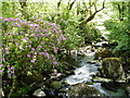
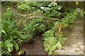
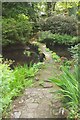
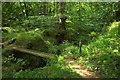
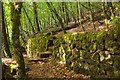
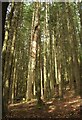
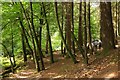
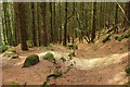
34 photos from this area
Area Information
Key information about the TQ13 8HH including its size, population, and administrative classification.
- Area Type
- Postcode
- Area Size
- 69.0 hectares
- Population
- 1759
- Population Density
- 25 people/km²
House Prices in TQ13 8HH
9
Properties
£908,070
Average Sold Price
£55,000
Lowest Price
£2,025,000
Highest Price
Showing 9 properties
| Address | Type | Beds | Baths | Last Sale Price | Last Sale Date | |
|---|---|---|---|---|---|---|
| Balls Wood House, Road From Gidleigh Lodge To Factory Cross, Chagford, TQ13 8HH | house | - | - | £2,025,000 | Nov 2023 | |
| Denshams, Road From Gidleigh Lodge To Factory Cross, Chagford, TQ13 8HH | Detached | 6 | 3 | £817,280 | Aug 2014 | |
| Leigh House, Road From Gidleigh Lodge To Factory Cross, Chagford, TQ13 8HH | Detached | - | - | £735,000 | Jul 2009 | |
| 1, Gidleigh Park Cottages, Road From Gidleigh Lodge To Factory Cross, Chagford, TQ13 8HH | Bungalow | - | - | £55,000 | Mar 1997 | |
| The Old Stable Block, Gidleigh Park Hotel, Road From Gidleigh Lodge To Factory Cross, Chagford, TQ13 8HH | hotel | - | - | - | - | |
| Puggiestone, Road From Gidleigh Lodge To Factory Cross, Chagford, TQ13 8HH | Detached | - | - | - | - | |
| Tennis 94M From Gidleigh Park Hotel 32M From Unnamed Road, Road From Gidleigh Lodge To Factory Cross, Chagford, TQ13 8HH | Leisure | - | - | - | - | |
| Denshams Cottage, Road From Gidleigh Lodge To Factory Cross, Chagford, TQ13 8HH | Detached | - | - | - | - | |
| 2, Gidleigh Park Cottages, Road From Gidleigh Lodge To Factory Cross, Chagford, TQ13 8HH | Detached | - | - | - | - |
Energy Efficiency in TQ13 8HH
Amenities
Schools
| Rank | School | Type | Entry gender | Ages |
|---|
Explore more schools in this area
Go to Schools tabDemographics
Household Size
Two person
most common
Accommodation Type
Houses
most common
Tenure
76
majority
Ethnic Group
White
most common
Religion
N/A
most common
Household Composition
N/A
most common
Age
47
median
Adults (30-64 years)
most common
Household Deprivation
N/A
with no deprivation
NS-SEC
38
in Lower managerial occupations
Explore more demographic insights in this area
Go to Demographics tabPlanning
Planning Constraints
- Flood RiskPremium
- Ramsar Wetland SitesPremium
- Area of Outstanding Natural BeautyPremium
- Protected Nature ReservePremium
- Protected WoodlandPremium