Area Overview for TQ12 3PP
Photos of TQ12 3PP


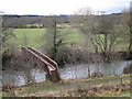
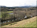
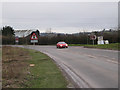
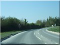
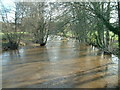

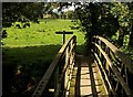
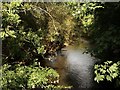

100 photos from this area
Area Information
Key information about the TQ12 3PP including its size, population, and administrative classification.
- Area Type
- Postcode
- Area Size
- 2.1 km²
- Population
- 1982
- Population Density
- 138 people/km²
House Prices in TQ12 3PP
20
Properties
£351,917
Average Sold Price
£151,000
Lowest Price
£510,000
Highest Price
Showing 20 properties
| Address | Type | Beds | Baths | Last Sale Price | Last Sale Date | |
|---|---|---|---|---|---|---|
| Riverside, Road From Manor Farm To Sampsons Farm, Preston, TQ12 3PP | Semi-detached | 17 | 3 | £425,000 | Feb 2025 | |
| Post Box Cottage, Road From Manor Farm To Sampsons Farm, Preston, TQ12 3PP | house | - | - | £510,000 | Nov 2021 | |
| Swallow Barn, Road From Manor Farm To Sampsons Farm, Preston, TQ12 3PP | house | - | - | £350,500 | Apr 2019 | |
| Mortimers Barn, Road From Manor Farm To Sampsons Farm, Preston, TQ12 3PP | house | - | - | £295,000 | Dec 2016 | |
| Burnell Cottage, Road Past Sampsons Farm, Preston, TQ12 3PP | Detached | - | - | £380,000 | Feb 2007 | |
| Meadowside, Road From Manor Farm To Sampsons Farm, Preston, TQ12 3PP | Bungalow | 4 | 2 | £151,000 | Jan 2001 | |
| Keepers Cottage, Sampsons Farm, Road Past Sampsons Farm, Preston, TQ12 3PP | Terraced | 3 | 2 | - | - | |
| Hayloft Cottage, Sampsons Farm, Road Past Sampsons Farm, Preston, TQ12 3PP | Semi-detached | 2 | 1 | - | - | |
| Teigngrace, Sampsons Farm, Road Past Sampsons Farm, Preston, TQ12 3PP | Farm | 3 | 2 | - | - | |
| Lower Teign Barn, Sampsons Farm, Road Past Sampsons Farm, Preston, TQ12 3PP | Semi-detached | 3 | 1 | - | - |
Page 1 of 2
Energy Efficiency in TQ12 3PP
Amenities
Schools
| Rank | School | Type | Entry gender | Ages |
|---|
Explore more schools in this area
Go to Schools tabDemographics
Household Size
Two person
most common
Accommodation Type
Houses
most common
Tenure
80
majority
Ethnic Group
White
most common
Religion
N/A
most common
Household Composition
N/A
most common
Age
47
median
Adults (30-64 years)
most common
Household Deprivation
N/A
with no deprivation
NS-SEC
35
in Lower managerial occupations
Explore more demographic insights in this area
Go to Demographics tabPlanning
Planning Constraints
- Flood RiskPremium
- Ramsar Wetland SitesPremium
- Area of Outstanding Natural BeautyPremium
- Protected Nature ReservePremium
- Protected WoodlandPremium