Area Overview for TQ12 2LY
Photos of TQ12 2LY
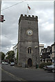
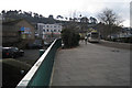
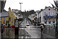
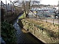
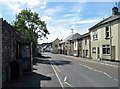
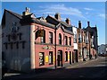
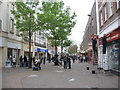
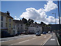
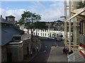
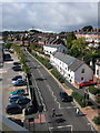
100 photos from this area
Area Information
Key information about the TQ12 2LY including its size, population, and administrative classification.
- Area Type
- Postcode
- Area Size
- 8641 m²
- Population
- 1590
- Population Density
- 6809 people/km²
House Prices in TQ12 2LY
18
Properties
£130,344
Average Sold Price
£44,500
Lowest Price
£194,000
Highest Price
Showing 18 properties
| Address | Type | Beds | Baths | Last Sale Price | Last Sale Date | |
|---|---|---|---|---|---|---|
| 85 Halcyon Road, Newton Abbot, TQ12 2LY | Terraced | 2 | 1 | £194,000 | Oct 2024 | |
| 99 Halcyon Road, Newton Abbot, TQ12 2LY | Terraced | 3 | 1 | £190,000 | Mar 2023 | |
| 97 Halcyon Road, Newton Abbot, TQ12 2LY | house | - | - | £125,500 | May 2022 | |
| 75 Halcyon Road, Newton Abbot, TQ12 2LY | house | - | - | £155,000 | Sep 2021 | |
| 93 Halcyon Road, Newton Abbot, TQ12 2LY | Terraced | 3 | 1 | £159,000 | May 2021 | |
| 87 Halcyon Road, Newton Abbot, TQ12 2LY | Terraced | 3 | - | £145,000 | Jul 2016 | |
| 91 Halcyon Road, Newton Abbot, TQ12 2LY | Terraced | 3 | 1 | £160,000 | Feb 2016 | |
| 81 Halcyon Road, Newton Abbot, TQ12 2LY | Terraced | 3 | - | £130,000 | Apr 2014 | |
| 65 Halcyon Road, Newton Abbot, TQ12 2LY | Terraced | 2 | - | £148,000 | Jun 2013 | |
| 67 Halcyon Road, Newton Abbot, TQ12 2LY | Terraced | 3 | - | £153,000 | Mar 2013 |
Page 1 of 2
Energy Efficiency in TQ12 2LY
Amenities
Schools
| Rank | School | Type | Entry gender | Ages |
|---|
Explore more schools in this area
Go to Schools tabDemographics
Household Size
One person
most common
Accommodation Type
Houses
most common
Tenure
40
majority
Ethnic Group
White
most common
Religion
N/A
most common
Household Composition
N/A
most common
Age
47
median
Adults (30-64 years)
most common
Household Deprivation
N/A
with no deprivation
NS-SEC
22
in Lower managerial occupations
Explore more demographic insights in this area
Go to Demographics tabPlanning
Planning Constraints
- Flood RiskPremium
- Ramsar Wetland SitesPremium
- Area of Outstanding Natural BeautyPremium
- Protected Nature ReservePremium
- Protected WoodlandPremium