Area Overview for TQ11 0EP
Photos of TQ11 0EP
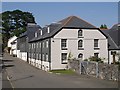
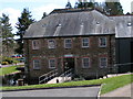
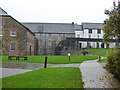

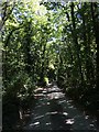
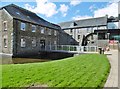
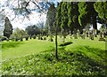
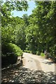
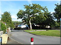
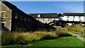
42 photos from this area
Area Information
Key information about the TQ11 0EP including its size, population, and administrative classification.
- Area Type
- Postcode
- Area Size
- 9158 m²
- Population
- 1287
- Population Density
- 65 people/km²
House Prices in TQ11 0EP
15
Properties
£252,573
Average Sold Price
£70,000
Lowest Price
£420,000
Highest Price
Showing 15 properties
| Address | Type | Beds | Baths | Last Sale Price | Last Sale Date | |
|---|---|---|---|---|---|---|
| 18 St Bernards Close, Buckfast, TQ11 0EP | Bungalow | 3 | 1 | £420,000 | Nov 2025 | |
| 26 St Bernards Close, Buckfast, TQ11 0EP | Bungalow | 2 | 2 | £335,000 | Feb 2021 | |
| 22 St Bernards Close, Buckfast, TQ11 0EP | Bungalow | 2 | 2 | £320,000 | Jun 2020 | |
| 16 St Bernards Close, Buckfast, TQ11 0EP | Bungalow | 2 | - | £270,000 | Jun 2019 | |
| 13 St Bernards Close, Buckfast, TQ11 0EP | Bungalow | - | - | £270,500 | Aug 2017 | |
| 25 St Bernards Close, Buckfast, TQ11 0EP | Bungalow | 3 | 1 | £299,950 | Sep 2014 | |
| 24 St Bernards Close, Buckfast, TQ11 0EP | Bungalow | 3 | - | £247,500 | Oct 2012 | |
| 21 St Bernards Close, Buckfast, TQ11 0EP | Bungalow | 2 | - | £190,000 | Aug 2012 | |
| 27 St Bernards Close, Buckfast, TQ11 0EP | Bungalow | 2 | - | £240,000 | Aug 2010 | |
| 14 St Bernards Close, Buckfast, TQ11 0EP | Detached | - | - | £260,000 | Jun 2006 |
Page 1 of 2
Energy Efficiency in TQ11 0EP
Amenities
Schools
| Rank | School | Type | Entry gender | Ages |
|---|
Explore more schools in this area
Go to Schools tabDemographics
Household Size
Two person
most common
Accommodation Type
Houses
most common
Tenure
78
majority
Ethnic Group
White
most common
Religion
N/A
most common
Household Composition
N/A
most common
Age
47
median
Adults (30-64 years)
most common
Household Deprivation
N/A
with no deprivation
NS-SEC
40
in Lower managerial occupations
Explore more demographic insights in this area
Go to Demographics tabPlanning
Planning Constraints
- Flood RiskPremium
- Ramsar Wetland SitesPremium
- Area of Outstanding Natural BeautyPremium
- Protected Nature ReservePremium
- Protected WoodlandPremium