Area Overview for TQ10 9PA
Photos of TQ10 9PA
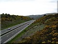
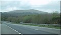
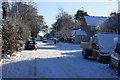
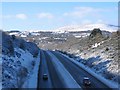
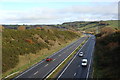
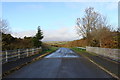
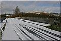
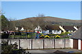

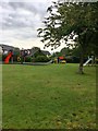
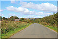
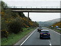
58 photos from this area
Area Information
Key information about the TQ10 9PA including its size, population, and administrative classification.
- Area Type
- Postcode
- Area Size
- 6.2 hectares
- Population
- 1501
- Population Density
- 1811 people/km²
House Prices in TQ10 9PA
42
Properties
£260,806
Average Sold Price
£123,000
Lowest Price
£362,000
Highest Price
Showing 42 properties
| Address | Type | Beds | Baths | Last Sale Price | Last Sale Date | |
|---|---|---|---|---|---|---|
| 87 Brakefield, South Brent, TQ10 9PA | Detached | 3 | 1 | £355,000 | Dec 2025 | |
| 45 Brakefield, South Brent, TQ10 9PA | Semi-detached | 4 | 2 | £362,000 | Apr 2025 | |
| 77 Brakefield, South Brent, TQ10 9PA | Detached | 4 | 2 | £360,000 | Mar 2025 | |
| 53 Brakefield, South Brent, TQ10 9PA | Terraced | 4 | 1 | £320,000 | Jun 2023 | |
| 71 Brakefield, South Brent, TQ10 9PA | Detached | 4 | 2 | £360,000 | Jan 2023 | |
| 49 Brakefield, South Brent, TQ10 9PA | Retail | 4 | 1 | £347,500 | Jan 2022 | |
| 85 Brakefield, South Brent, TQ10 9PA | Detached | 3 | 1 | £220,000 | Jun 2021 | |
| 33 Brakefield, South Brent, TQ10 9PA | house | - | - | £265,000 | Apr 2021 | |
| 37 Brakefield, South Brent, TQ10 9PA | Terraced | 3 | 1 | £230,000 | May 2020 | |
| 15 Brakefield, South Brent, TQ10 9PA | Detached | 4 | 1 | £285,000 | Aug 2019 |
Page 1 of 5
Energy Efficiency in TQ10 9PA
Amenities
Schools
| Rank | School | Type | Entry gender | Ages |
|---|
Explore more schools in this area
Go to Schools tabDemographics
Household Size
Two person
most common
Accommodation Type
Houses
most common
Tenure
64
majority
Ethnic Group
White
most common
Religion
N/A
most common
Household Composition
N/A
most common
Age
47
median
Adults (30-64 years)
most common
Household Deprivation
N/A
with no deprivation
NS-SEC
32
in Lower managerial occupations
Explore more demographic insights in this area
Go to Demographics tabPlanning
Planning Constraints
- Flood RiskPremium
- Ramsar Wetland SitesPremium
- Area of Outstanding Natural BeautyPremium
- Protected Nature ReservePremium
- Protected WoodlandPremium