Area Overview for TQ1 4PG
Photos of TQ1 4PG
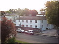


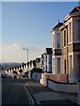
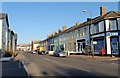
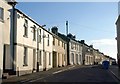
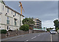
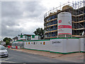
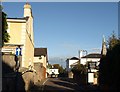
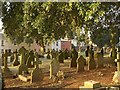
100 photos from this area
Area Information
Key information about the TQ1 4PG including its size, population, and administrative classification.
- Area Type
- Postcode
- Area Size
- 1.1 hectares
- Population
- 1353
- Population Density
- 6655 people/km²
House Prices in TQ1 4PG
22
Properties
£147,204
Average Sold Price
£37,500
Lowest Price
£250,000
Highest Price
Showing 22 properties
| Address | Type | Beds | Baths | Last Sale Price | Last Sale Date | |
|---|---|---|---|---|---|---|
| 19 Shelley Avenue, St Marychurch, Torquay, TQ1 4PG | Terraced | 3 | 1 | £246,000 | Dec 2024 | |
| 22 Shelley Avenue, St Marychurch, Torquay, TQ1 4PG | Semi-detached | 4 | 2 | £250,000 | May 2023 | |
| 20 Shelley Avenue, St Marychurch, Torquay, TQ1 4PG | house | - | - | £155,000 | Oct 2016 | |
| 11 Shelley Avenue, St Marychurch, Torquay, TQ1 4PG | Semi-detached | 3 | 1 | £178,000 | Jul 2016 | |
| 8 Shelley Avenue, St Marychurch, Torquay, TQ1 4PG | Semi-detached | 3 | 1 | £173,500 | Jan 2015 | |
| 9 Shelley Avenue, St Marychurch, Torquay, TQ1 4PG | Semi-detached | 3 | - | £148,000 | Jul 2013 | |
| 12 Shelley Avenue, St Marychurch, Torquay, TQ1 4PG | house | - | - | £169,950 | Feb 2007 | |
| 24 Shelley Avenue, St Marychurch, Torquay, TQ1 4PG | Semi-detached | - | - | £185,000 | Feb 2006 | |
| 4 Shelley Avenue, St Marychurch, Torquay, TQ1 4PG | Semi-detached | - | - | £96,000 | May 2002 | |
| 10 Shelley Avenue, St Marychurch, Torquay, TQ1 4PG | house | 3 | - | £77,500 | Mar 2001 |
Page 1 of 3
Energy Efficiency in TQ1 4PG
Amenities
Schools
| Rank | School | Type | Entry gender | Ages |
|---|
Explore more schools in this area
Go to Schools tabDemographics
Household Size
Family (3-5 people)
most common
Accommodation Type
Houses
most common
Tenure
73
majority
Ethnic Group
White
most common
Religion
N/A
most common
Household Composition
N/A
most common
Age
47
median
Adults (30-64 years)
most common
Household Deprivation
N/A
with no deprivation
NS-SEC
25
in Lower managerial occupations
Explore more demographic insights in this area
Go to Demographics tabPlanning
Planning Constraints
- Flood RiskPremium
- Ramsar Wetland SitesPremium
- Area of Outstanding Natural BeautyPremium
- Protected Nature ReservePremium
- Protected WoodlandPremium