Area Overview for TA9 4QA
Photos of TA9 4QA
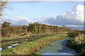
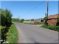
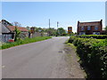
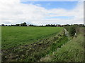
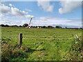
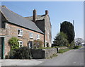
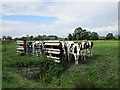
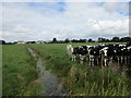
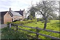
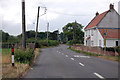
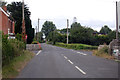
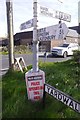
14 photos from this area
Area Information
Key information about the TA9 4QA including its size, population, and administrative classification.
- Area Type
- Postcode
- Area Size
- 10.6 hectares
- Population
- 1397
- Population Density
- 65 people/km²
House Prices in TA9 4QA
16
Properties
£343,431
Average Sold Price
£110,000
Lowest Price
£650,000
Highest Price
Showing 16 properties
| Address | Type | Beds | Baths | Last Sale Price | Last Sale Date | |
|---|---|---|---|---|---|---|
| Mead House, The Causeway, Mark, Highbridge, TA9 4QA | Detached | 5 | 4 | £650,000 | Mar 2024 | |
| Syringa, The Causeway, Mark, Highbridge, TA9 4QA | house | - | - | £400,000 | Nov 2020 | |
| 2, Little Paddock, The Causeway, Mark, Highbridge, TA9 4QA | house | - | - | £390,000 | Jun 2014 | |
| Chapel Cottage, The Causeway, Mark, Highbridge, TA9 4QA | house | 3 | - | £305,000 | Jun 2012 | |
| Polden View, The Causeway, Mark, Highbridge, TA9 4QA | Bungalow | 5 | - | £409,950 | Jul 2010 | |
| Havens Croft, The Causeway, Mark, Highbridge, TA9 4QA | Detached | - | - | £330,000 | Oct 2007 | |
| Wayside, The Causeway, Mark, Highbridge, TA9 4QA | Semi-detached | - | - | £152,500 | May 2003 | |
| Ampthill House, The Causeway, Mark, Highbridge, TA9 4QA | Detached | - | - | £110,000 | Jun 1998 | |
| Ponderosa, The Causeway, Mark, Highbridge, TA9 4QA | Bungalow | 3 | 1 | - | - | |
| Old Wesley Chapel, The Causeway, Mark, Highbridge, TA9 4QA | Detached | 3 | - | - | - |
Page 1 of 2
Energy Efficiency in TA9 4QA
Amenities
Schools
| Rank | School | Type | Entry gender | Ages |
|---|
Explore more schools in this area
Go to Schools tabDemographics
Household Size
Two person
most common
Accommodation Type
Houses
most common
Tenure
83
majority
Ethnic Group
White
most common
Religion
N/A
most common
Household Composition
N/A
most common
Age
47
median
Adults (30-64 years)
most common
Household Deprivation
N/A
with no deprivation
NS-SEC
36
in Lower managerial occupations
Explore more demographic insights in this area
Go to Demographics tabPlanning
Planning Constraints
- Flood RiskPremium
- Ramsar Wetland SitesPremium
- Area of Outstanding Natural BeautyPremium
- Protected Nature ReservePremium
- Protected WoodlandPremium