Area Overview for TA9 4BT
Photos of TA9 4BT
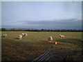
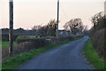
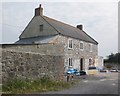
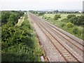
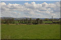
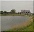
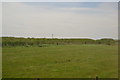
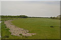
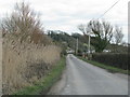
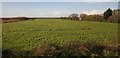
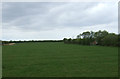
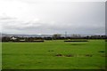
22 photos from this area
Area Information
Key information about the TA9 4BT including its size, population, and administrative classification.
- Area Type
- Postcode
- Area Size
- 72.4 hectares
- Population
- 1767
- Population Density
- 87 people/km²
House Prices in TA9 4BT
5
Properties
£271,500
Average Sold Price
£166,000
Lowest Price
£400,000
Highest Price
Showing 5 properties
| Address | Type | Beds | Baths | Last Sale Price | Last Sale Date | |
|---|---|---|---|---|---|---|
| Sweet Briar, Middle Street, Brent Knoll, Highbridge, TA9 4BT | Bungalow | 2 | - | £287,500 | Apr 2016 | |
| Elm View, Middle Street, Brent Knoll, Highbridge, TA9 4BT | Detached | 5 | 3 | £400,000 | Nov 2003 | |
| Laburnum, Middle Street, Brent Knoll, Highbridge, TA9 4BT | Land | 2 | - | £232,500 | Jun 2001 | |
| Eastview Cottage, Middle Street, Brent Knoll, Highbridge, TA9 4BT | Detached | - | - | £166,000 | Jul 1997 | |
| Middle Street Farm, Middle Street, Brent Knoll, Highbridge, TA9 4BT | house | 4 | - | - | - |
Energy Efficiency in TA9 4BT
Amenities
Schools
| Rank | School | Type | Entry gender | Ages |
|---|
Explore more schools in this area
Go to Schools tabDemographics
Household Size
Two person
most common
Accommodation Type
Houses
most common
Tenure
86
majority
Ethnic Group
White
most common
Religion
N/A
most common
Household Composition
N/A
most common
Age
47
median
Adults (30-64 years)
most common
Household Deprivation
N/A
with no deprivation
NS-SEC
36
in Lower managerial occupations
Explore more demographic insights in this area
Go to Demographics tabPlanning
Planning Constraints
- Flood RiskPremium
- Ramsar Wetland SitesPremium
- Area of Outstanding Natural BeautyPremium
- Protected Nature ReservePremium
- Protected WoodlandPremium