Area Overview for TA8 1QQ
Photos of TA8 1QQ
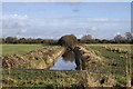
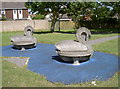
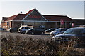
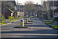
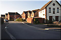
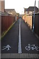
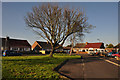
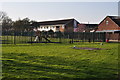
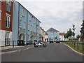
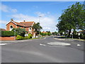
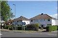
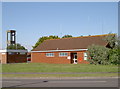
15 photos from this area
Area Information
Key information about the TA8 1QQ including its size, population, and administrative classification.
- Area Type
- Postcode
- Area Size
- 7916 m²
- Population
- 1720
- Population Density
- 5983 people/km²
House Prices in TA8 1QQ
16
Properties
£197,784
Average Sold Price
£104,000
Lowest Price
£322,500
Highest Price
Showing 16 properties
| Address | Type | Beds | Baths | Last Sale Price | Last Sale Date | |
|---|---|---|---|---|---|---|
| 12 Rattigan Close, Burnham On Sea, TA8 1QQ | house | - | - | £322,500 | Apr 2018 | |
| 10 Rattigan Close, Burnham On Sea, TA8 1QQ | house | - | - | £255,000 | Mar 2018 | |
| 14 Rattigan Close, Burnham On Sea, TA8 1QQ | house | - | - | £172,000 | Sep 2015 | |
| 17 Rattigan Close, Burnham On Sea, TA8 1QQ | Detached | 3 | 1 | £230,000 | Jul 2015 | |
| 7 Rattigan Close, Burnham On Sea, TA8 1QQ | Detached | 4 | 2 | £205,000 | Dec 2013 | |
| 15 Rattigan Close, Burnham On Sea, TA8 1QQ | house | 3 | - | £170,000 | Aug 2012 | |
| 3 Rattigan Close, Burnham On Sea, TA8 1QQ | Detached | - | - | £232,500 | Nov 2007 | |
| 5 Rattigan Close, Burnham On Sea, TA8 1QQ | Detached | - | - | £276,000 | Jun 2007 | |
| 11 Rattigan Close, Burnham On Sea, TA8 1QQ | house | - | - | £280,000 | Jan 2007 | |
| 9 Rattigan Close, Burnham On Sea, TA8 1QQ | Detached | - | - | £193,000 | Jul 2006 |
Page 1 of 2
Energy Efficiency in TA8 1QQ
Amenities
Schools
| Rank | School | Type | Entry gender | Ages |
|---|
Explore more schools in this area
Go to Schools tabDemographics
Household Size
Two person
most common
Accommodation Type
Houses
most common
Tenure
84
majority
Ethnic Group
White
most common
Religion
N/A
most common
Household Composition
N/A
most common
Age
47
median
Adults (30-64 years)
most common
Household Deprivation
N/A
with no deprivation
NS-SEC
27
in Lower managerial occupations
Explore more demographic insights in this area
Go to Demographics tabPlanning
Planning Constraints
- Flood RiskPremium
- Ramsar Wetland SitesPremium
- Area of Outstanding Natural BeautyPremium
- Protected Nature ReservePremium
- Protected WoodlandPremium