Area Overview for TA8 1HD
Photos of TA8 1HD
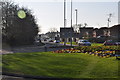
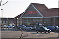
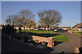
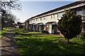
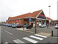
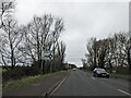
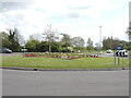
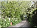
18 photos from this area
Area Information
Key information about the TA8 1HD including its size, population, and administrative classification.
- Area Type
- Postcode
- Area Size
- 7857 m²
- Population
- 1609
- Population Density
- 4828 people/km²
House Prices in TA8 1HD
16
Properties
£152,173
Average Sold Price
£42,000
Lowest Price
£256,000
Highest Price
Showing 16 properties
| Address | Type | Beds | Baths | Last Sale Price | Last Sale Date | |
|---|---|---|---|---|---|---|
| 15 Rosewood Avenue, Burnham On Sea, TA8 1HD | house | - | - | £256,000 | Sep 2021 | |
| 15A Rosewood Avenue, Burnham On Sea, TA8 1HD | house | - | - | £220,000 | Sep 2020 | |
| 8B Rosewood Avenue, Burnham On Sea, TA8 1HD | Bungalow | - | - | £190,000 | Jan 2020 | |
| 9 Rosewood Avenue, Burnham On Sea, TA8 1HD | Bungalow | - | - | £174,950 | Oct 2015 | |
| 4 Rosewood Avenue, Burnham On Sea, TA8 1HD | Semi-detached | - | - | £150,000 | Jul 2010 | |
| 3 Rosewood Avenue, Burnham On Sea, TA8 1HD | Semi-detached | - | - | £167,000 | Aug 2008 | |
| 1 Rosewood Avenue, Burnham On Sea, TA8 1HD | Semi-detached | - | - | £146,000 | Jun 2005 | |
| 5 Rosewood Avenue, Burnham On Sea, TA8 1HD | Semi-detached | - | - | £159,950 | Nov 2004 | |
| 2 Rosewood Avenue, Burnham On Sea, TA8 1HD | Semi-detached | - | - | £53,000 | Sep 2002 | |
| 17 Rosewood Avenue, Burnham On Sea, TA8 1HD | Bungalow | - | - | £115,000 | Aug 2002 |
Page 1 of 2
Energy Efficiency in TA8 1HD
Amenities
Schools
| Rank | School | Type | Entry gender | Ages |
|---|
Explore more schools in this area
Go to Schools tabDemographics
Household Size
One person
most common
Accommodation Type
Houses
most common
Tenure
64
majority
Ethnic Group
White
most common
Religion
N/A
most common
Household Composition
N/A
most common
Age
47
median
Adults (30-64 years)
most common
Household Deprivation
N/A
with no deprivation
NS-SEC
24
in Lower managerial occupations
Explore more demographic insights in this area
Go to Demographics tabPlanning
Planning Constraints
- Flood RiskPremium
- Ramsar Wetland SitesPremium
- Area of Outstanding Natural BeautyPremium
- Protected Nature ReservePremium
- Protected WoodlandPremium