Area Overview for TA7 9AH
Photos of TA7 9AH
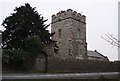
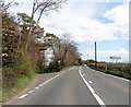
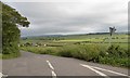
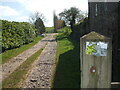
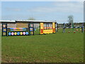
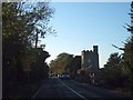
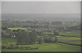

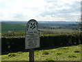
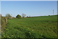
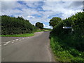
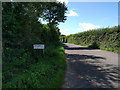
13 photos from this area
Area Information
Key information about the TA7 9AH including its size, population, and administrative classification.
- Area Type
- Postcode
- Area Size
- 48.9 hectares
- Population
- 1314
- Population Density
- 134 people/km²
House Prices in TA7 9AH
11
Properties
£389,375
Average Sold Price
£277,500
Lowest Price
£635,000
Highest Price
Showing 11 properties
| Address | Type | Beds | Baths | Last Sale Price | Last Sale Date | |
|---|---|---|---|---|---|---|
| Broadacres, Chilton Polden Hill, Chilton Polden, Bridgwater, TA7 9AH | house | - | - | £635,000 | Mar 2017 | |
| Sedgemoor, Chilton Polden Hill, Chilton Polden, Bridgwater, TA7 9AH | house | - | - | £365,000 | Oct 2016 | |
| Sundial, Chilton Polden Hill, Chilton Polden, Bridgwater, TA7 9AH | Land | - | - | £277,500 | Feb 2016 | |
| Peppercorn Cottage, Chilton Polden Hill, Chilton Polden, Bridgwater, TA7 9AH | Detached | - | - | £280,000 | Oct 2009 | |
| 1, Priory Cottages, Chilton Polden Hill, Chilton Polden, Bridgwater, TA7 9AH | Detached | 8 | 5 | - | - | |
| Pococks, Chilton Polden Hill, Chilton Polden, Bridgwater, TA7 9AH | Semi-detached | 1 | 1 | - | - | |
| The Snook Adj, Pococks, Chilton Polden Hill, Chilton Polden, Bridgwater, TA7 9AH | hotel | - | - | - | - | |
| 1, Glencoe Drive, Chilton Polden Hill, Chilton Polden, Bridgwater, TA7 9AH | Detached | - | - | - | - | |
| Yew Tree Cottage, Chilton Polden Hill, Chilton Polden, Bridgwater, TA7 9AH | Detached | - | - | - | - | |
| 2, Priory Cottages, Chilton Polden Hill, Chilton Polden, Bridgwater, TA7 9AH | Detached | - | - | - | - |
Page 1 of 2
Energy Efficiency in TA7 9AH
Amenities
Schools
| Rank | School | Type | Entry gender | Ages |
|---|
Explore more schools in this area
Go to Schools tabDemographics
Household Size
Two person
most common
Accommodation Type
Houses
most common
Tenure
83
majority
Ethnic Group
White
most common
Religion
N/A
most common
Household Composition
N/A
most common
Age
47
median
Adults (30-64 years)
most common
Household Deprivation
N/A
with no deprivation
NS-SEC
40
in Lower managerial occupations
Explore more demographic insights in this area
Go to Demographics tabPlanning
Planning Constraints
- Flood RiskPremium
- Ramsar Wetland SitesPremium
- Area of Outstanding Natural BeautyPremium
- Protected Nature ReservePremium
- Protected WoodlandPremium