Area Overview for TA6 7LH
Photos of TA6 7LH

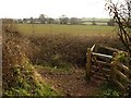
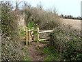
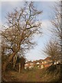
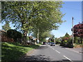
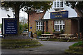
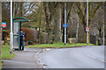
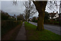

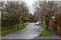
28 photos from this area
Area Information
Key information about the TA6 7LH including its size, population, and administrative classification.
- Area Type
- Postcode
- Area Size
- 1.7 hectares
- Population
- 1693
- Population Density
- 3628 people/km²
House Prices in TA6 7LH
37
Properties
£160,556
Average Sold Price
£47,500
Lowest Price
£245,000
Highest Price
Showing 37 properties
| Address | Type | Beds | Baths | Last Sale Price | Last Sale Date | |
|---|---|---|---|---|---|---|
| 33 Woodbury Road, Bridgwater, TA6 7LH | house | - | - | £136,250 | Dec 2024 | |
| 37 Woodbury Road, Bridgwater, TA6 7LH | house | 3 | - | £245,000 | Feb 2020 | |
| 26 Woodbury Road, Bridgwater, TA6 7LH | Semi-detached | 3 | - | £195,000 | Apr 2018 | |
| 57 Woodbury Road, Bridgwater, TA6 7LH | Semi-detached | 3 | - | £202,000 | Apr 2017 | |
| 43 Woodbury Road, Bridgwater, TA6 7LH | Semi-detached | 4 | - | £237,000 | Jun 2014 | |
| 42 Woodbury Road, Bridgwater, TA6 7LH | house | - | - | £205,000 | May 2014 | |
| 40 Woodbury Road, Bridgwater, TA6 7LH | Semi-detached | 4 | - | £179,000 | Sep 2013 | |
| 14 Woodbury Road, Bridgwater, TA6 7LH | Semi-detached | - | - | £165,000 | Sep 2010 | |
| 51 Woodbury Road, Bridgwater, TA6 7LH | house | - | - | £181,200 | Jul 2009 | |
| 45 Woodbury Road, Bridgwater, TA6 7LH | house | - | - | £157,000 | Jun 2009 |
Page 1 of 4
Energy Efficiency in TA6 7LH
Amenities
Schools
| Rank | School | Type | Entry gender | Ages |
|---|
Explore more schools in this area
Go to Schools tabDemographics
Household Size
One person
most common
Accommodation Type
Houses
most common
Tenure
36
majority
Ethnic Group
White
most common
Religion
N/A
most common
Household Composition
N/A
most common
Age
47
median
Adults (30-64 years)
most common
Household Deprivation
N/A
with no deprivation
NS-SEC
23
in Lower managerial occupations
Explore more demographic insights in this area
Go to Demographics tabPlanning
Planning Constraints
- Flood RiskPremium
- Ramsar Wetland SitesPremium
- Area of Outstanding Natural BeautyPremium
- Protected Nature ReservePremium
- Protected WoodlandPremium