Area Overview for TA6 6PP
Photos of TA6 6PP
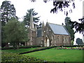
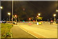
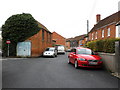
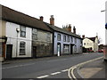


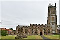
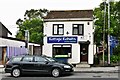
91 photos from this area
Area Information
Key information about the TA6 6PP including its size, population, and administrative classification.
- Area Type
- Postcode
- Area Size
- 36.5 hectares
- Population
- 1554
- Population Density
- 60 people/km²
House Prices in TA6 6PP
12
Properties
£271,750
Average Sold Price
£51,000
Lowest Price
£595,000
Highest Price
Showing 12 properties
| Address | Type | Beds | Baths | Last Sale Price | Last Sale Date | |
|---|---|---|---|---|---|---|
| Heathfield Dairy, Bridgwater Road, North Petherton, Bridgwater, TA6 6PP | Bungalow | - | - | £595,000 | May 2019 | |
| Heathfield Barn, Bridgwater Road, North Petherton, Bridgwater, TA6 6PP | Semi-detached | - | - | £365,000 | Jun 2006 | |
| 1, Heathfield Cottages, Bridgwater Road, North Petherton, Bridgwater, TA6 6PP | Semi-detached | - | - | £51,000 | Jul 1997 | |
| 2, Heathfield Cottages, Bridgwater Road, North Petherton, Bridgwater, TA6 6PP | Semi-detached | - | - | £76,000 | Jun 1996 | |
| Oak Barn, Bridgwater Road, North Petherton, Bridgwater, TA6 6PP | Detached | 4 | - | - | - | |
| Compass House, Bridgwater Road, North Petherton, Bridgwater, TA6 6PP | Flat | 2 | 2 | - | - | |
| 1, Heathfield Farm, Taunton Road, Bridgwater, TA6 6PP | undefined | - | - | - | - | |
| 1, Heathfield Farm, Bridgwater Road, North Petherton, Bridgwater, TA6 6PP | Semi-detached | 3 | 1 | - | - | |
| Casa Di Luca, Bridgwater Road, North Petherton, Bridgwater, TA6 6PP | Detached | - | - | - | - | |
| Nostra Casuccia, Bridgwater Road, North Petherton, Bridgwater, TA6 6PP | Detached | - | - | - | - |
Page 1 of 2
Energy Efficiency in TA6 6PP
Amenities
Schools
| Rank | School | Type | Entry gender | Ages |
|---|
Explore more schools in this area
Go to Schools tabDemographics
Household Size
Two person
most common
Accommodation Type
Houses
most common
Tenure
79
majority
Ethnic Group
White
most common
Religion
N/A
most common
Household Composition
N/A
most common
Age
47
median
Adults (30-64 years)
most common
Household Deprivation
N/A
with no deprivation
NS-SEC
37
in Lower managerial occupations
Explore more demographic insights in this area
Go to Demographics tabPlanning
Planning Constraints
- Flood RiskPremium
- Ramsar Wetland SitesPremium
- Area of Outstanding Natural BeautyPremium
- Protected Nature ReservePremium
- Protected WoodlandPremium