Area Overview for TA5 2RF
Photos of TA5 2RF
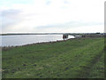
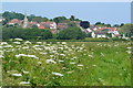
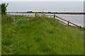
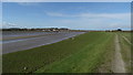


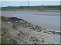
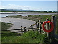
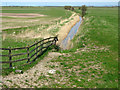

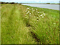
19 photos from this area
Area Information
Key information about the TA5 2RF including its size, population, and administrative classification.
- Area Type
- Postcode
- Area Size
- 96.9 hectares
- Population
- 1546
- Population Density
- 74 people/km²
House Prices in TA5 2RF
33
Properties
£161,528
Average Sold Price
£46,250
Lowest Price
£295,000
Highest Price
Showing 33 properties
| Address | Type | Beds | Baths | Last Sale Price | Last Sale Date | |
|---|---|---|---|---|---|---|
| 66 Estuary Park, Combwich, Bridgwater, TA5 2RF | Detached | 2 | 2 | £295,000 | Jan 2025 | |
| 53 Estuary Park, Combwich, Bridgwater, TA5 2RF | house | - | - | £225,000 | Apr 2023 | |
| 52 Estuary Park, Combwich, Bridgwater, TA5 2RF | Retail | 2 | - | £265,000 | Jun 2022 | |
| 62 Estuary Park, Combwich, Bridgwater, TA5 2RF | house | 3 | - | £265,000 | Jun 2021 | |
| 51 Estuary Park, Combwich, Bridgwater, TA5 2RF | Semi-detached | 3 | - | £200,000 | Sep 2020 | |
| 69 Estuary Park, Combwich, Bridgwater, TA5 2RF | Semi-detached | 3 | 1 | £210,000 | Oct 2018 | |
| 37 Estuary Park, Combwich, Bridgwater, TA5 2RF | Semi-detached | 3 | 1 | £175,000 | Jul 2017 | |
| 35 Estuary Park, Combwich, Bridgwater, TA5 2RF | house | - | - | £169,000 | Nov 2014 | |
| 57 Estuary Park, Combwich, Bridgwater, TA5 2RF | Semi-detached | 4 | - | £197,000 | Jun 2014 | |
| 54 Estuary Park, Combwich, Bridgwater, TA5 2RF | Bungalow | - | - | £125,000 | Mar 2012 |
Page 1 of 4
Energy Efficiency in TA5 2RF
Amenities
Schools
| Rank | School | Type | Entry gender | Ages |
|---|
Explore more schools in this area
Go to Schools tabDemographics
Household Size
Two person
most common
Accommodation Type
Houses
most common
Tenure
80
majority
Ethnic Group
White
most common
Religion
N/A
most common
Household Composition
N/A
most common
Age
47
median
Adults (30-64 years)
most common
Household Deprivation
N/A
with no deprivation
NS-SEC
36
in Lower managerial occupations
Explore more demographic insights in this area
Go to Demographics tabPlanning
Planning Constraints
- Flood RiskPremium
- Ramsar Wetland SitesPremium
- Area of Outstanding Natural BeautyPremium
- Protected Nature ReservePremium
- Protected WoodlandPremium