Area Overview for TA3 7SL
Photos of TA3 7SL

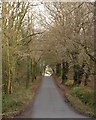

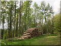
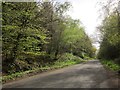
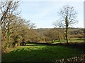
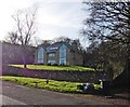
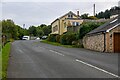

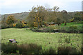
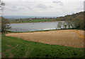

18 photos from this area
Area Information
Key information about the TA3 7SL including its size, population, and administrative classification.
- Area Type
- Postcode
- Area Size
- 95.3 hectares
- Population
- 2290
- Population Density
- 44 people/km²
House Prices in TA3 7SL
30
Properties
£601,325
Average Sold Price
£152,500
Lowest Price
£1,450,000
Highest Price
Showing 30 properties
| Address | Type | Beds | Baths | Last Sale Price | Last Sale Date | |
|---|---|---|---|---|---|---|
| Brookfield House, Blagdon Hill Road, Pitminster, Taunton, TA3 7SL | house | - | - | £1,300,000 | Apr 2024 | |
| Underwood, Blagdon Hill Road, Pitminster, Taunton, TA3 7SL | Detached | 3 | 2 | £300,000 | Feb 2023 | |
| Brook Lodge, Blagdon Hill Road, Pitminster, Taunton, TA3 7SL | Detached | 4 | 3 | £587,000 | Jan 2023 | |
| The Pines, Blagdon Hill Road, Pitminster, Taunton, TA3 7SL | Land | 4 | 4 | £950,000 | Feb 2022 | |
| Glen Garry, Blagdon Hill Road, Pitminster, Taunton, TA3 7SL | house | - | - | £775,000 | Dec 2021 | |
| Orchard Edge, Blagdon Hill Road, Pitminster, Taunton, TA3 7SL | house | - | - | £615,000 | Jan 2021 | |
| Orchard Cottage, Blagdon Hill Road, Pitminster, Taunton, TA3 7SL | Detached | 7 | 2 | £570,000 | Jul 2020 | |
| Orchard Court, Blagdon Hill Road, Pitminster, Taunton, TA3 7SL | Detached | 5 | 4 | £1,160,000 | Oct 2019 | |
| Orchard Rise, Blagdon Hill Road, Pitminster, Taunton, TA3 7SL | Detached | 4 | 2 | £440,000 | Nov 2018 | |
| Oakfield Cottage, Blagdon Hill Road, Pitminster, Taunton, TA3 7SL | house | - | - | £512,000 | Jun 2018 |
Page 1 of 3
Energy Efficiency in TA3 7SL
Amenities
Schools
| Rank | School | Type | Entry gender | Ages |
|---|
Explore more schools in this area
Go to Schools tabDemographics
Household Size
Two person
most common
Accommodation Type
Houses
most common
Tenure
80
majority
Ethnic Group
White
most common
Religion
N/A
most common
Household Composition
N/A
most common
Age
47
median
Adults (30-64 years)
most common
Household Deprivation
N/A
with no deprivation
NS-SEC
41
in Lower managerial occupations
Explore more demographic insights in this area
Go to Demographics tabPlanning
Planning Constraints
- Flood RiskPremium
- Ramsar Wetland SitesPremium
- Area of Outstanding Natural BeautyPremium
- Protected Nature ReservePremium
- Protected WoodlandPremium