Area Overview for TA3 6SR
Photos of TA3 6SR
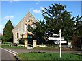
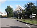
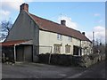
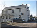

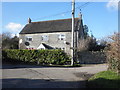
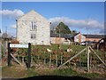
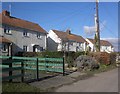

30 photos from this area
Area Information
Key information about the TA3 6SR including its size, population, and administrative classification.
- Area Type
- Postcode
- Area Size
- 18.8 hectares
- Population
- 1774
- Population Density
- 79 people/km²
House Prices in TA3 6SR
11
Properties
£329,500
Average Sold Price
£115,000
Lowest Price
£700,000
Highest Price
Showing 11 properties
| Address | Type | Beds | Baths | Last Sale Price | Last Sale Date | |
|---|---|---|---|---|---|---|
| Honeysuckle Cottage, Silver Street, Curry Mallet, Taunton, TA3 6SR | Detached | 3 | 1 | £345,000 | Oct 2022 | |
| Old Smithy Cottage, Silver Street, Curry Mallet, Taunton, TA3 6SR | Detached | 4 | 2 | £700,000 | Jun 2021 | |
| April Cottage, Silver Street, Curry Mallet, Taunton, TA3 6SR | Detached | 3 | 1 | £367,500 | Mar 2016 | |
| Tulip Tree Cottage, Silver Street, Curry Mallet, Taunton, TA3 6SR | Detached | - | - | £115,000 | Jan 2001 | |
| The Old Post Office, Silver Street, Curry Mallet, Taunton, TA3 6SR | Detached | - | - | £120,000 | Sep 1997 | |
| Tumbleweed Cottage, Silver Street, Curry Mallet, Taunton, TA3 6SR | Industrial | - | - | - | - | |
| The Old Forge, Silver Street, Curry Mallet, Taunton, TA3 6SR | house | - | - | - | - | |
| The Old Foundry, Silver Street, Curry Mallet, Taunton, TA3 6SR | house | - | - | - | - | |
| Farriers Cottage, Silver Street, Curry Mallet, Taunton, TA3 6SR | house | - | - | - | - | |
| Ivy Dene, Silver Street, Curry Mallet, Taunton, TA3 6SR | house | - | - | - | - |
Page 1 of 2
Energy Efficiency in TA3 6SR
Amenities
Schools
| Rank | School | Type | Entry gender | Ages |
|---|
Explore more schools in this area
Go to Schools tabDemographics
Household Size
Two person
most common
Accommodation Type
Houses
most common
Tenure
76
majority
Ethnic Group
White
most common
Religion
N/A
most common
Household Composition
N/A
most common
Age
47
median
Adults (30-64 years)
most common
Household Deprivation
N/A
with no deprivation
NS-SEC
32
in Lower managerial occupations
Explore more demographic insights in this area
Go to Demographics tabPlanning
Planning Constraints
- Flood RiskPremium
- Ramsar Wetland SitesPremium
- Area of Outstanding Natural BeautyPremium
- Protected Nature ReservePremium
- Protected WoodlandPremium