Area Overview for TA24 5TZ
Photos of TA24 5TZ
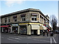
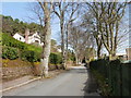
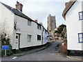
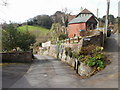
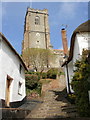
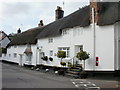
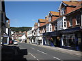
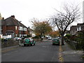
100 photos from this area
Area Information
Key information about the TA24 5TZ including its size, population, and administrative classification.
- Area Type
- Postcode
- Area Size
- 5535 m²
- Population
- 2015
- Population Density
- 3262 people/km²
House Prices in TA24 5TZ
27
Properties
£188,333
Average Sold Price
£150,000
Lowest Price
£250,000
Highest Price
Showing 27 properties
| Address | Type | Beds | Baths | Last Sale Price | Last Sale Date | |
|---|---|---|---|---|---|---|
| 11 Quirke Street, Minehead, TA24 5TZ | Detached | 3 | 1 | £250,000 | Oct 2022 | |
| 10 Quirke Street, Minehead, TA24 5TZ | house | - | - | £150,000 | Jul 2016 | |
| 13 Quirke Street, Minehead, TA24 5TZ | Detached | - | - | £165,000 | Jul 2011 | |
| 16B Quirke Street, Minehead, TA24 5TZ | Flat | 1 | 1 | - | - | |
| Stuart Tudballs Upholstery Service, 8B Quirke Street, Minehead, TA24 5TZ | shop | - | - | - | - | |
| 20 Quirke Street, Minehead, TA24 5TZ | Flat | - | - | - | - | |
| 18B Quirke Street, Minehead, TA24 5TZ | Flat | - | - | - | - | |
| Flat 1, 9 Quirke Street, Minehead, TA24 5TZ | Flat | - | - | - | - | |
| 16A Quirke Street, Minehead, TA24 5TZ | Flat | - | - | - | - | |
| 18A Quirke Street, Minehead, TA24 5TZ | Flat | - | - | - | - |
Page 1 of 3
Energy Efficiency in TA24 5TZ
Amenities
Schools
| Rank | School | Type | Entry gender | Ages |
|---|
Explore more schools in this area
Go to Schools tabDemographics
Household Size
One person
most common
Accommodation Type
Houses
most common
Tenure
66
majority
Ethnic Group
White
most common
Religion
N/A
most common
Household Composition
N/A
most common
Age
47
median
Adults (30-64 years)
most common
Household Deprivation
N/A
with no deprivation
NS-SEC
29
in Lower managerial occupations
Explore more demographic insights in this area
Go to Demographics tabPlanning
Planning Constraints
- Flood RiskPremium
- Ramsar Wetland SitesPremium
- Area of Outstanding Natural BeautyPremium
- Protected Nature ReservePremium
- Protected WoodlandPremium