Area Overview for TA21 9BA
Photos of TA21 9BA
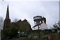
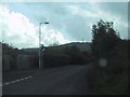
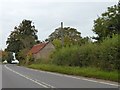
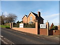
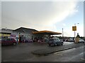
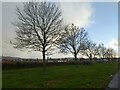
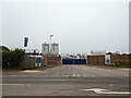
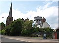
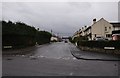
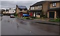
24 photos from this area
Area Information
Key information about the TA21 9BA including its size, population, and administrative classification.
- Area Type
- Postcode
- Area Size
- 2.8 hectares
- Population
- 1463
- Population Density
- 1393 people/km²
House Prices in TA21 9BA
58
Properties
£286,604
Average Sold Price
£185,000
Lowest Price
£430,000
Highest Price
Showing 58 properties
| Address | Type | Beds | Baths | Last Sale Price | Last Sale Date | |
|---|---|---|---|---|---|---|
| 38 Barrington Way, Wellington, TA21 9BA | Detached | 4 | 3 | £415,000 | Mar 2025 | |
| 45 Barrington Way, Wellington, TA21 9BA | house | - | - | £430,000 | Jul 2023 | |
| 15 Barrington Way, Wellington, TA21 9BA | house | 3 | 2 | £320,000 | Dec 2021 | |
| 54 Barrington Way, Wellington, TA21 9BA | house | - | - | £271,000 | May 2021 | |
| 42 Barrington Way, Wellington, TA21 9BA | house | - | - | £258,000 | Feb 2021 | |
| 7 Barrington Way, Wellington, TA21 9BA | house | - | - | £359,950 | Feb 2021 | |
| 58 Barrington Way, Wellington, TA21 9BA | house | - | - | £258,950 | Jan 2021 | |
| 56 Barrington Way, Wellington, TA21 9BA | Detached | 4 | 2 | £355,000 | Dec 2020 | |
| 12 Barrington Way, Wellington, TA21 9BA | house | - | - | £259,950 | Dec 2020 | |
| 1 Barrington Way, Wellington, TA21 9BA | house | - | - | £249,000 | Nov 2020 |
Page 1 of 6
Energy Efficiency in TA21 9BA
Amenities
Schools
| Rank | School | Type | Entry gender | Ages |
|---|
Explore more schools in this area
Go to Schools tabDemographics
Household Size
Two person
most common
Accommodation Type
Houses
most common
Tenure
75
majority
Ethnic Group
White
most common
Religion
N/A
most common
Household Composition
N/A
most common
Age
47
median
Adults (30-64 years)
most common
Household Deprivation
N/A
with no deprivation
NS-SEC
35
in Lower managerial occupations
Explore more demographic insights in this area
Go to Demographics tabPlanning
Planning Constraints
- Flood RiskPremium
- Ramsar Wetland SitesPremium
- Area of Outstanding Natural BeautyPremium
- Protected Nature ReservePremium
- Protected WoodlandPremium