Area Overview for TA21 0DA
Photos of TA21 0DA

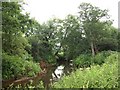
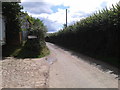
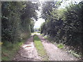
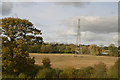
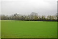
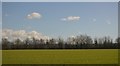
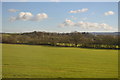


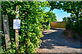
39 photos from this area
Area Information
Key information about the TA21 0DA including its size, population, and administrative classification.
- Area Type
- Postcode
- Area Size
- 63.1 hectares
- Population
- 2326
- Population Density
- 71 people/km²
House Prices in TA21 0DA
21
Properties
£411,889
Average Sold Price
£120,000
Lowest Price
£1,160,000
Highest Price
Showing 21 properties
| Address | Type | Beds | Baths | Last Sale Price | Last Sale Date | |
|---|---|---|---|---|---|---|
| Barley House, East Nynehead Road, Nynehead, Wellington, TA21 0DA | house | 4 | 2 | £1,144,000 | Jul 2024 | |
| Clavengers, East Nynehead Road, Nynehead, Wellington, TA21 0DA | Detached | 4 | 4 | £1,160,000 | Aug 2018 | |
| Bluehills, East Nynehead Road, Nynehead, Wellington, TA21 0DA | Detached | 4 | 1 | £320,000 | Jun 2015 | |
| Dollings Cottage, East Nynehead Road, Nynehead, Wellington, TA21 0DA | house | 4 | - | £226,000 | Aug 2009 | |
| Quandeane, East Nynehead Road, Nynehead, Wellington, TA21 0DA | Detached | - | - | £135,000 | Sep 2008 | |
| Sundown, East Nynehead Road, Nynehead, Wellington, TA21 0DA | Bungalow | - | - | £305,000 | Apr 2008 | |
| Deacons, East Nynehead Road, Nynehead, Wellington, TA21 0DA | Detached | - | - | £175,000 | Jun 2001 | |
| Barnstone Cottage, East Nynehead Road, Nynehead, Wellington, TA21 0DA | Detached | - | - | £120,000 | Oct 1998 | |
| Pinewood, East Nynehead Road, Nynehead, Wellington, TA21 0DA | house | - | - | £122,000 | Aug 1997 | |
| Perry Farm Bungalow, East Nynehead Road, Nynehead, Wellington, TA21 0DA | Bungalow | 4 | 2 | - | - |
Page 1 of 3
Energy Efficiency in TA21 0DA
Amenities
Schools
| Rank | School | Type | Entry gender | Ages |
|---|
Explore more schools in this area
Go to Schools tabDemographics
Household Size
Two person
most common
Accommodation Type
Houses
most common
Tenure
83
majority
Ethnic Group
White
most common
Religion
N/A
most common
Household Composition
N/A
most common
Age
47
median
Adults (30-64 years)
most common
Household Deprivation
N/A
with no deprivation
NS-SEC
42
in Lower managerial occupations
Explore more demographic insights in this area
Go to Demographics tabPlanning
Planning Constraints
- Flood RiskPremium
- Ramsar Wetland SitesPremium
- Area of Outstanding Natural BeautyPremium
- Protected Nature ReservePremium
- Protected WoodlandPremium