Area Overview for TA20 3DB
Photos of TA20 3DB
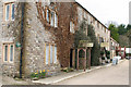
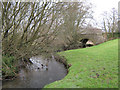
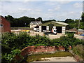
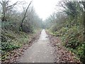
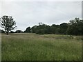
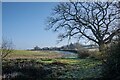
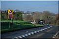
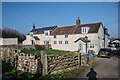
28 photos from this area
Area Information
Key information about the TA20 3DB including its size, population, and administrative classification.
- Area Type
- Postcode
- Area Size
- 34.8 hectares
- Population
- 1740
- Population Density
- 776 people/km²
House Prices in TA20 3DB
21
Properties
£318,900
Average Sold Price
£117,000
Lowest Price
£624,000
Highest Price
Showing 21 properties
| Address | Type | Beds | Baths | Last Sale Price | Last Sale Date | |
|---|---|---|---|---|---|---|
| Mulberry House, Hornsbury Hill, Chard, TA20 3DB | house | 3 | 2 | £620,000 | Dec 2024 | |
| West View, Hornsbury Hill, Chard, TA20 3DB | Semi-detached | 3 | 1 | £350,000 | Aug 2023 | |
| Fairfields, Hornsbury Hill, Chard, TA20 3DB | Semi-detached | 4 | 2 | £250,000 | Sep 2017 | |
| Brookcroft, Hornsbury Hill, Chard, TA20 3DB | Semi-detached | 5 | - | £250,000 | Jul 2014 | |
| Le Chalet, Hornsbury Hill, Chard, TA20 3DB | Detached | - | - | £325,000 | Sep 2010 | |
| Weatherbury, Hornsbury Hill, Chard, TA20 3DB | house | - | - | £250,000 | Jul 2009 | |
| Yew Tree Cottage, Hornsbury Hill, Chard, TA20 3DB | hospital_care_home | - | - | £624,000 | Sep 2007 | |
| Nlee, Hornsbury Hill, Chard, TA20 3DB | Detached | - | - | £210,000 | Dec 2002 | |
| Northayes Farm, Hornsbury Hill, Chard, TA20 3DB | house | 4 | 1 | £193,000 | Aug 2002 | |
| S Ell Vic, Hornsbury Hill, Chard, TA20 3DB | Detached | - | - | £117,000 | Apr 2000 |
Page 1 of 3
Energy Efficiency in TA20 3DB
Amenities
Schools
| Rank | School | Type | Entry gender | Ages |
|---|
Explore more schools in this area
Go to Schools tabDemographics
Household Size
Two person
most common
Accommodation Type
Houses
most common
Tenure
76
majority
Ethnic Group
White
most common
Religion
N/A
most common
Household Composition
N/A
most common
Age
47
median
Adults (30-64 years)
most common
Household Deprivation
N/A
with no deprivation
NS-SEC
25
in Lower managerial occupations
Explore more demographic insights in this area
Go to Demographics tabPlanning
Planning Constraints
- Flood RiskPremium
- Ramsar Wetland SitesPremium
- Area of Outstanding Natural BeautyPremium
- Protected Nature ReservePremium
- Protected WoodlandPremium