Area Overview for TA19 0JA
Photos of TA19 0JA
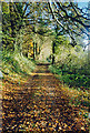
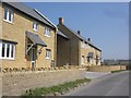


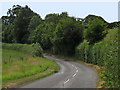
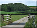
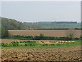

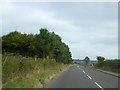

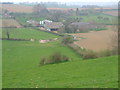
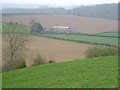
15 photos from this area
Area Information
Key information about the TA19 0JA including its size, population, and administrative classification.
- Area Type
- Postcode
- Area Size
- 1.0 km²
- Population
- 1945
- Population Density
- 218 people/km²
House Prices in TA19 0JA
25
Properties
£437,344
Average Sold Price
£195,000
Lowest Price
£775,000
Highest Price
Showing 25 properties
| Address | Type | Beds | Baths | Last Sale Price | Last Sale Date | |
|---|---|---|---|---|---|---|
| 18 Townsend, Ilminster, TA19 0JA | house | - | - | £195,000 | Jan 2025 | |
| Oakridge, Townsend, Ilminster, TA19 0JA | Bungalow | 3 | 1 | £450,000 | Oct 2024 | |
| 17 Townsend, Ilminster, TA19 0JA | Semi-detached | 3 | 1 | £255,000 | Aug 2024 | |
| Little Tawny, Townsend, Ilminster, TA19 0JA | Bungalow | 3 | 1 | £450,000 | Dec 2023 | |
| Doulton, Townsend, Ilminster, TA19 0JA | house | - | - | £460,000 | Nov 2021 | |
| Nettlecombe, Townsend, Ilminster, TA19 0JA | house | - | - | £478,000 | Aug 2021 | |
| Holeburne, Townsend, Ilminster, TA19 0JA | house | - | - | £475,000 | Mar 2021 | |
| 26, Knott Oak, Townsend, Ilminster, TA19 0JA | house | 3 | 2 | £330,000 | Mar 2021 | |
| Haldon, Townsend, Ilminster, TA19 0JA | Detached | 3 | 2 | £575,000 | Sep 2020 | |
| Kalmunda, Townsend, Ilminster, TA19 0JA | house | - | - | £330,000 | Nov 2018 |
Page 1 of 3
Energy Efficiency in TA19 0JA
Amenities
Schools
| Rank | School | Type | Entry gender | Ages |
|---|
Explore more schools in this area
Go to Schools tabDemographics
Household Size
One person
most common
Accommodation Type
Houses
most common
Tenure
59
majority
Ethnic Group
White
most common
Religion
N/A
most common
Household Composition
N/A
most common
Age
47
median
Adults (30-64 years)
most common
Household Deprivation
N/A
with no deprivation
NS-SEC
32
in Lower managerial occupations
Explore more demographic insights in this area
Go to Demographics tabPlanning
Planning Constraints
- Flood RiskPremium
- Ramsar Wetland SitesPremium
- Area of Outstanding Natural BeautyPremium
- Protected Nature ReservePremium
- Protected WoodlandPremium