Area Overview for TA18 7ER
Photos of TA18 7ER
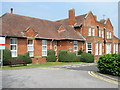
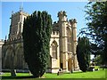
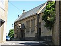
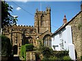
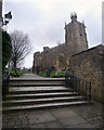
76 photos from this area
Area Information
Key information about the TA18 7ER including its size, population, and administrative classification.
- Area Type
- Postcode
- Area Size
- 1.5 hectares
- Population
- 1671
- Population Density
- 1068 people/km²
House Prices in TA18 7ER
35
Properties
£132,500
Average Sold Price
£27,000
Lowest Price
£185,000
Highest Price
Showing 35 properties
| Address | Type | Beds | Baths | Last Sale Price | Last Sale Date | |
|---|---|---|---|---|---|---|
| 38 Rose Lane, Crewkerne, TA18 7ER | Terraced | 1 | 1 | £150,000 | Aug 2025 | |
| 6, Bartlett Court, Rose Lane, Crewkerne, TA18 7ER | house | 2 | 1 | £155,000 | Apr 2025 | |
| 14 Rose Lane, Crewkerne, TA18 7ER | Terraced | 2 | 1 | £165,000 | Sep 2024 | |
| 12 Rose Lane, Crewkerne, TA18 7ER | Terraced | 2 | 1 | £105,000 | Feb 2020 | |
| 30 Rose Lane, Crewkerne, TA18 7ER | Terraced | 2 | 1 | £150,000 | Aug 2019 | |
| 1, Bartlett Court, Rose Lane, Crewkerne, TA18 7ER | Terraced | 1 | 1 | £130,000 | Apr 2019 | |
| 22 Rose Lane, Crewkerne, TA18 7ER | Semi-detached | 2 | - | £180,000 | Nov 2018 | |
| 40 Rose Lane, Crewkerne, TA18 7ER | Terraced | 2 | - | £176,000 | Jul 2017 | |
| 20 Rose Lane, Crewkerne, TA18 7ER | Semi-detached | 2 | 1 | £155,000 | Mar 2017 | |
| 3, Bartlett Court, Rose Lane, Crewkerne, TA18 7ER | house | - | - | £135,000 | Oct 2016 |
Page 1 of 4
Energy Efficiency in TA18 7ER
Amenities
Schools
| Rank | School | Type | Entry gender | Ages |
|---|
Explore more schools in this area
Go to Schools tabDemographics
Household Size
One person
most common
Accommodation Type
Houses
most common
Tenure
66
majority
Ethnic Group
White
most common
Religion
N/A
most common
Household Composition
N/A
most common
Age
47
median
Adults (30-64 years)
most common
Household Deprivation
N/A
with no deprivation
NS-SEC
33
in Lower managerial occupations
Explore more demographic insights in this area
Go to Demographics tabPlanning
Planning Constraints
- Flood RiskPremium
- Ramsar Wetland SitesPremium
- Area of Outstanding Natural BeautyPremium
- Protected Nature ReservePremium
- Protected WoodlandPremium