Area Overview for TA14 6SS
Photos of TA14 6SS
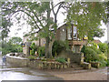


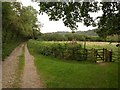

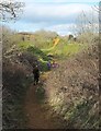

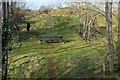
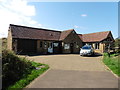
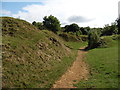
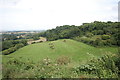
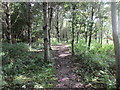
56 photos from this area
Area Information
Key information about the TA14 6SS including its size, population, and administrative classification.
- Area Type
- Postcode
- Area Size
- 20.5 hectares
- Population
- 1278
- Population Density
- 233 people/km²
House Prices in TA14 6SS
27
Properties
£312,997
Average Sold Price
£130,000
Lowest Price
£956,000
Highest Price
Showing 27 properties
| Address | Type | Beds | Baths | Last Sale Price | Last Sale Date | |
|---|---|---|---|---|---|---|
| 9 Broadmead Lane, Norton Sub Hamdon, Stoke Sub Hamdon, TA14 6SS | Terraced | 2 | 1 | £224,000 | Jan 2023 | |
| The Flax Barn, 12 Broadmead Lane, Norton Sub Hamdon, Stoke Sub Hamdon, TA14 6SS | house | - | - | £956,000 | Jul 2021 | |
| 10 Broadmead Lane, Norton Sub Hamdon, Stoke Sub Hamdon, TA14 6SS | house | - | - | £515,000 | Feb 2021 | |
| 1 Broadmead Lane, Norton Sub Hamdon, Stoke Sub Hamdon, TA14 6SS | Bungalow | 3 | - | £500,000 | Sep 2020 | |
| 13 Broadmead Lane, Norton Sub Hamdon, Stoke Sub Hamdon, TA14 6SS | Cottage | 3 | 1 | £220,000 | Aug 2020 | |
| 22 Broadmead Lane, Norton Sub Hamdon, Stoke Sub Hamdon, TA14 6SS | Terraced | 2 | 1 | £172,000 | Feb 2019 | |
| 32 Broadmead Lane, Norton Sub Hamdon, Stoke Sub Hamdon, TA14 6SS | house | - | - | £365,000 | May 2018 | |
| 26 Broadmead Lane, Norton Sub Hamdon, Stoke Sub Hamdon, TA14 6SS | Terraced | - | - | £230,000 | Apr 2018 | |
| 4 Broadmead Lane, Norton Sub Hamdon, Stoke Sub Hamdon, TA14 6SS | Terraced | 2 | 1 | £240,000 | Nov 2017 | |
| 11 Broadmead Lane, Norton Sub Hamdon, Stoke Sub Hamdon, TA14 6SS | Terraced | 2 | 1 | £162,000 | Jan 2015 |
Page 1 of 3
Energy Efficiency in TA14 6SS
Amenities
Schools
| Rank | School | Type | Entry gender | Ages |
|---|
Explore more schools in this area
Go to Schools tabDemographics
Household Size
Two person
most common
Accommodation Type
Houses
most common
Tenure
70
majority
Ethnic Group
White
most common
Religion
N/A
most common
Household Composition
N/A
most common
Age
47
median
Adults (30-64 years)
most common
Household Deprivation
N/A
with no deprivation
NS-SEC
35
in Lower managerial occupations
Explore more demographic insights in this area
Go to Demographics tabPlanning
Planning Constraints
- Flood RiskPremium
- Ramsar Wetland SitesPremium
- Area of Outstanding Natural BeautyPremium
- Protected Nature ReservePremium
- Protected WoodlandPremium