Area Overview for TA13 5DF
Photos of TA13 5DF
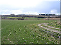
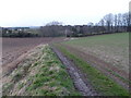
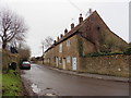
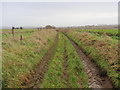
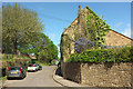
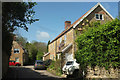
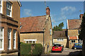
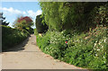
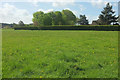
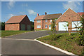
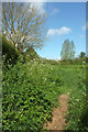
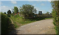
34 photos from this area
Area Information
Key information about the TA13 5DF including its size, population, and administrative classification.
- Area Type
- Postcode
- Area Size
- 11.9 hectares
- Population
- 2086
- Population Density
- 1963 people/km²
House Prices in TA13 5DF
10
Properties
£485,357
Average Sold Price
£290,000
Lowest Price
£795,000
Highest Price
Showing 10 properties
| Address | Type | Beds | Baths | Last Sale Price | Last Sale Date | |
|---|---|---|---|---|---|---|
| Highfield, Whitfield Lane, South Petherton, TA13 5DF | house | - | - | £620,000 | Feb 2021 | |
| Fairview, Whitfield Lane, South Petherton, TA13 5DF | house | - | - | £500,000 | Sep 2019 | |
| Green Meadow, Whitfield Lane, South Petherton, TA13 5DF | house | - | - | £485,000 | Aug 2018 | |
| Longacre, 23 Whitfield Lane, South Petherton, TA13 5DF | Detached | - | - | £290,000 | Dec 2006 | |
| Sheria, Whitfield Lane, South Petherton, TA13 5DF | house | - | - | £795,000 | Sep 2006 | |
| West Acre, Whitfield Lane, South Petherton, TA13 5DF | Detached | - | - | £412,500 | Jun 2005 | |
| Lucere, Whitfield Lane, South Petherton, TA13 5DF | Detached | - | - | £295,000 | Feb 2005 | |
| Tereva, Whitfield Lane, South Petherton, TA13 5DF | Bungalow | 3 | 1 | - | - | |
| The Shambles, Whitfield Lane, South Petherton, TA13 5DF | Bungalow | 3 | 1 | - | - | |
| Westholme, Whitfield Lane, South Petherton, TA13 5DF | Detached | - | - | - | - |
Energy Efficiency in TA13 5DF
Amenities
Schools
| Rank | School | Type | Entry gender | Ages |
|---|
Explore more schools in this area
Go to Schools tabDemographics
Household Size
Two person
most common
Accommodation Type
Houses
most common
Tenure
62
majority
Ethnic Group
White
most common
Religion
N/A
most common
Household Composition
N/A
most common
Age
47
median
Adults (30-64 years)
most common
Household Deprivation
N/A
with no deprivation
NS-SEC
33
in Lower managerial occupations
Explore more demographic insights in this area
Go to Demographics tabPlanning
Planning Constraints
- Flood RiskPremium
- Ramsar Wetland SitesPremium
- Area of Outstanding Natural BeautyPremium
- Protected Nature ReservePremium
- Protected WoodlandPremium