Area Overview for TA12 6PG
Photos of TA12 6PG
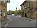
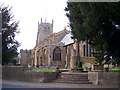
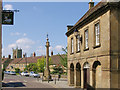
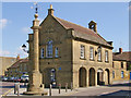
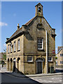
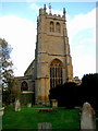
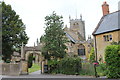
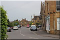
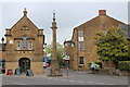
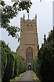
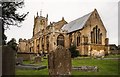
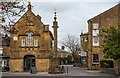
100 photos from this area
Area Information
Key information about the TA12 6PG including its size, population, and administrative classification.
- Area Type
- Postcode
- Area Size
- 1.8 hectares
- Population
- 1202
- Population Density
- 366 people/km²
House Prices in TA12 6PG
30
Properties
£315,500
Average Sold Price
£242,500
Lowest Price
£428,000
Highest Price
Showing 30 properties
| Address | Type | Beds | Baths | Last Sale Price | Last Sale Date | |
|---|---|---|---|---|---|---|
| 11 Bearley Road, Martock, TA12 6PG | house | - | - | £428,000 | Jun 2023 | |
| Little Garth, Bearley Road, Martock, TA12 6PG | Bungalow | - | - | £340,000 | Sep 2021 | |
| 5 Bearley Road, Martock, TA12 6PG | Detached | 4 | 1 | £305,000 | Dec 2020 | |
| Westcombe, Bearley Road, Martock, TA12 6PG | Bungalow | 3 | 2 | £350,000 | May 2020 | |
| 13 Bearley Road, Martock, TA12 6PG | Detached | 4 | 2 | £327,500 | Jul 2017 | |
| 15 Bearley Road, Martock, TA12 6PG | Detached | 4 | 1 | £285,000 | Apr 2017 | |
| 26 Bearley Road, Martock, TA12 6PG | Detached | 3 | - | £246,000 | Feb 2014 | |
| Woodrush, Bearley Road, Martock, TA12 6PG | Detached | - | - | £242,500 | Nov 2008 | |
| Belville, Bearley Road, Martock, TA12 6PG | Bungalow | 3 | 1 | - | - | |
| 18 Bearley Road, Martock, TA12 6PG | Bungalow | - | - | - | - |
Page 1 of 3
Energy Efficiency in TA12 6PG
Amenities
Schools
| Rank | School | Type | Entry gender | Ages |
|---|
Explore more schools in this area
Go to Schools tabDemographics
Household Size
One person
most common
Accommodation Type
Houses
most common
Tenure
57
majority
Ethnic Group
White
most common
Religion
N/A
most common
Household Composition
N/A
most common
Age
47
median
Adults (30-64 years)
most common
Household Deprivation
N/A
with no deprivation
NS-SEC
24
in Lower managerial occupations
Explore more demographic insights in this area
Go to Demographics tabPlanning
Planning Constraints
- Flood RiskPremium
- Ramsar Wetland SitesPremium
- Area of Outstanding Natural BeautyPremium
- Protected Nature ReservePremium
- Protected WoodlandPremium