Area Overview for TA11 6PT
Photos of TA11 6PT
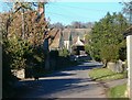
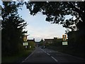
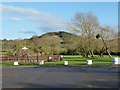
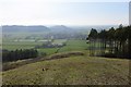
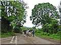
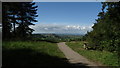
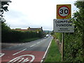
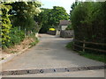
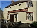
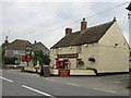
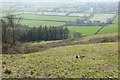
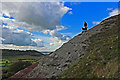
18 photos from this area
Area Information
Key information about the TA11 6PT including its size, population, and administrative classification.
- Area Type
- Postcode
- Area Size
- 1.0 km²
- Population
- 2092
- Population Density
- 59 people/km²
House Prices in TA11 6PT
14
Properties
£324,250
Average Sold Price
£57,000
Lowest Price
£640,000
Highest Price
Showing 14 properties
| Address | Type | Beds | Baths | Last Sale Price | Last Sale Date | |
|---|---|---|---|---|---|---|
| Longfields, Behind Town, Compton Dundon, Somerton, TA11 6PT | Bungalow | - | - | £640,000 | Sep 2013 | |
| Coombe Springs, Behind Town, Compton Dundon, Somerton, TA11 6PT | Detached | 4 | - | £315,000 | Sep 2013 | |
| Pine View, Behind Town, Compton Dundon, Somerton, TA11 6PT | Bungalow | - | - | £285,000 | Dec 2008 | |
| Sherrys, Behind Town, Compton Dundon, Somerton, TA11 6PT | Detached | 3 | - | £57,000 | May 1996 | |
| Mobile Home, Dutch Barn, Behind Town, Compton Dundon, Somerton, TA11 6PT | Mobile Home | - | - | - | - | |
| The Shutter House, Behind Town, Compton Dundon, Somerton, TA11 6PT | Detached | - | - | - | - | |
| Constelium House, Behind Town, Compton Dundon, Somerton, TA11 6PT | house | - | - | - | - | |
| Treetops, Behind Town, Compton Dundon, Somerton, TA11 6PT | house | - | - | - | - | |
| Hill View House, Behind Town, Compton Dundon, Somerton, TA11 6PT | house | - | - | - | - | |
| Dutch Barn, Behind Town, Compton Dundon, Somerton, TA11 6PT | Detached | - | - | - | - |
Page 1 of 2
Energy Efficiency in TA11 6PT
Amenities
Schools
| Rank | School | Type | Entry gender | Ages |
|---|
Explore more schools in this area
Go to Schools tabDemographics
Household Size
Two person
most common
Accommodation Type
Houses
most common
Tenure
81
majority
Ethnic Group
White
most common
Religion
N/A
most common
Household Composition
N/A
most common
Age
47
median
Adults (30-64 years)
most common
Household Deprivation
N/A
with no deprivation
NS-SEC
38
in Lower managerial occupations
Explore more demographic insights in this area
Go to Demographics tabPlanning
Planning Constraints
- Flood RiskPremium
- Ramsar Wetland SitesPremium
- Area of Outstanding Natural BeautyPremium
- Protected Nature ReservePremium
- Protected WoodlandPremium