Area Overview for TA1 2ND
Photos of TA1 2ND
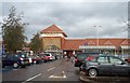
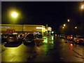
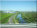
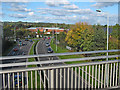

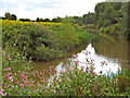
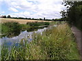
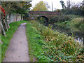
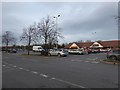
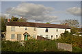


78 photos from this area
Area Information
Key information about the TA1 2ND including its size, population, and administrative classification.
- Area Type
- Postcode
- Area Size
- 8758 m²
- Population
- 1568
- Population Density
- 3423 people/km²
House Prices in TA1 2ND
40
Properties
£86,582
Average Sold Price
£30,000
Lowest Price
£220,000
Highest Price
Showing 40 properties
| Address | Type | Beds | Baths | Last Sale Price | Last Sale Date | |
|---|---|---|---|---|---|---|
| 139 Allington Close, Taunton, TA1 2ND | house | 1 | - | £92,000 | Feb 2025 | |
| 115 Allington Close, Taunton, TA1 2ND | Flat | - | 1 | £64,000 | Jan 2025 | |
| 129 Allington Close, Taunton, TA1 2ND | house | 2 | 1 | £220,000 | Nov 2024 | |
| 117 Allington Close, Taunton, TA1 2ND | Flat | - | 1 | £73,000 | Sep 2022 | |
| 93 Allington Close, Taunton, TA1 2ND | Flat | - | 1 | £72,500 | May 2022 | |
| 155 Allington Close, Taunton, TA1 2ND | Flat | 1 | 1 | £100,000 | Sep 2021 | |
| 141 Allington Close, Taunton, TA1 2ND | Maisonette | 1 | 1 | £95,000 | Oct 2020 | |
| 161 Allington Close, Taunton, TA1 2ND | Terraced | 2 | - | £150,000 | Aug 2019 | |
| 123 Allington Close, Taunton, TA1 2ND | Terraced | 2 | - | £137,000 | May 2019 | |
| 133 Allington Close, Taunton, TA1 2ND | Terraced | 2 | 1 | £158,250 | Jan 2019 |
Page 1 of 4
Energy Efficiency in TA1 2ND
Amenities
Schools
| Rank | School | Type | Entry gender | Ages |
|---|
Explore more schools in this area
Go to Schools tabDemographics
Household Size
One person
most common
Accommodation Type
Houses
most common
Tenure
52
majority
Ethnic Group
White
most common
Religion
N/A
most common
Household Composition
N/A
most common
Age
47
median
Adults (30-64 years)
most common
Household Deprivation
N/A
with no deprivation
NS-SEC
24
in Lower managerial occupations
Explore more demographic insights in this area
Go to Demographics tabPlanning
Planning Constraints
- Flood RiskPremium
- Ramsar Wetland SitesPremium
- Area of Outstanding Natural BeautyPremium
- Protected Nature ReservePremium
- Protected WoodlandPremium