Area Overview for SP9 7EX
Photos of SP9 7EX
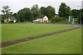
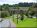
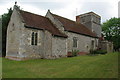
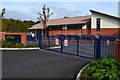
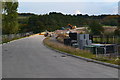
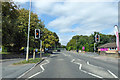
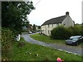
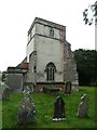
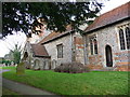
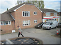
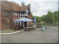
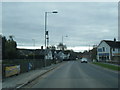
18 photos from this area
Area Information
Key information about the SP9 7EX including its size, population, and administrative classification.
- Area Type
- Postcode
- Area Size
- 2.3 hectares
- Population
- 1877
- Population Density
- 362 people/km²
House Prices in SP9 7EX
42
Properties
£152,234
Average Sold Price
£34,500
Lowest Price
£290,000
Highest Price
Showing 42 properties
| Address | Type | Beds | Baths | Last Sale Price | Last Sale Date | |
|---|---|---|---|---|---|---|
| 203 Sidbury Circular Road, Tidworth, SP9 7EX | Terraced | 2 | 1 | £220,000 | Sep 2025 | |
| 208 Sidbury Circular Road, Tidworth, SP9 7EX | Semi-detached | 3 | 1 | £290,000 | Dec 2024 | |
| 185 Sidbury Circular Road, Tidworth, SP9 7EX | Flat | 2 | 1 | £132,000 | Dec 2024 | |
| 199 Sidbury Circular Road, Tidworth, SP9 7EX | Terraced | 2 | 2 | £262,000 | Feb 2024 | |
| 184 Sidbury Circular Road, Tidworth, SP9 7EX | Flat | 2 | 1 | £145,000 | Jul 2023 | |
| 187 Sidbury Circular Road, Tidworth, SP9 7EX | Flat | 2 | 1 | £140,000 | Nov 2022 | |
| 211 Sidbury Circular Road, Tidworth, SP9 7EX | Terraced | 2 | - | £154,000 | Mar 2020 | |
| 217 Sidbury Circular Road, Tidworth, SP9 7EX | house | - | - | £110,000 | Jun 2019 | |
| 212 Sidbury Circular Road, Tidworth, SP9 7EX | Semi-detached | 3 | 1 | £227,500 | Dec 2018 | |
| 223 Sidbury Circular Road, Tidworth, SP9 7EX | Terraced | 2 | 1 | £175,000 | Jul 2018 |
Page 1 of 5
Energy Efficiency in SP9 7EX
Amenities
Schools
| Rank | School | Type | Entry gender | Ages |
|---|
Explore more schools in this area
Go to Schools tabDemographics
Household Size
Family (3-5 people)
most common
Accommodation Type
Houses
most common
Tenure
16
majority
Ethnic Group
White
most common
Religion
N/A
most common
Household Composition
N/A
most common
Age
22
median
Adults (30-64 years)
most common
Household Deprivation
N/A
with no deprivation
NS-SEC
35
in Lower managerial occupations
Explore more demographic insights in this area
Go to Demographics tabPlanning
Planning Constraints
- Flood RiskPremium
- Ramsar Wetland SitesPremium
- Area of Outstanding Natural BeautyPremium
- Protected Nature ReservePremium
- Protected WoodlandPremium