Area Overview for SP8 5HF
Photos of SP8 5HF
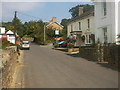
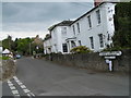
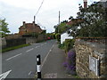
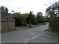
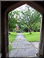
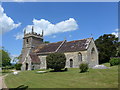
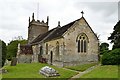
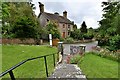
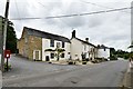
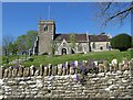
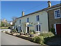
30 photos from this area
Area Information
Key information about the SP8 5HF including its size, population, and administrative classification.
- Area Type
- Postcode
- Area Size
- 31.8 hectares
- Population
- 1996
- Population Density
- 63 people/km²
House Prices in SP8 5HF
6
Properties
£426,600
Average Sold Price
£285,000
Lowest Price
£535,000
Highest Price
Showing 6 properties
| Address | Type | Beds | Baths | Last Sale Price | Last Sale Date | |
|---|---|---|---|---|---|---|
| Bridge Cottage, Templecombe Lane To Hartmoor Hill, Buckhorn Weston, SP8 5HF | Detached | 4 | 1 | £520,000 | Feb 2022 | |
| Bedes Meadow, Templecombe Lane To Hartmoor Hill, Buckhorn Weston, SP8 5HF | Detached | 4 | 2 | £318,000 | May 2015 | |
| Terracotta, Templecombe Lane To Hartmoor Hill, Buckhorn Weston, SP8 5HF | house | - | - | £475,000 | Aug 2009 | |
| The Shutters, Templecombe Lane To Hartmoor Hill, Buckhorn Weston, SP8 5HF | house | - | - | £535,000 | Nov 2007 | |
| Brookfield, Templecombe Lane To Hartmoor Hill, Buckhorn Weston, SP8 5HF | Detached | 4 | 1 | £285,000 | Dec 2003 | |
| Kanzan, Templecombe Lane To Hartmoor Hill, Buckhorn Weston, SP8 5HF | Detached | - | - | - | - |
Energy Efficiency in SP8 5HF
Amenities
Schools
| Rank | School | Type | Entry gender | Ages |
|---|
Explore more schools in this area
Go to Schools tabDemographics
Household Size
Two person
most common
Accommodation Type
Houses
most common
Tenure
80
majority
Ethnic Group
White
most common
Religion
N/A
most common
Household Composition
N/A
most common
Age
47
median
Adults (30-64 years)
most common
Household Deprivation
N/A
with no deprivation
NS-SEC
38
in Lower managerial occupations
Explore more demographic insights in this area
Go to Demographics tabPlanning
Planning Constraints
- Flood RiskPremium
- Ramsar Wetland SitesPremium
- Area of Outstanding Natural BeautyPremium
- Protected Nature ReservePremium
- Protected WoodlandPremium