Area Overview for SP8 4YN
Photos of SP8 4YN
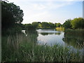
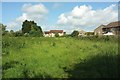
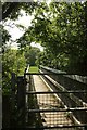
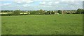
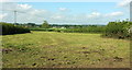
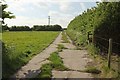
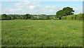
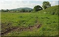
37 photos from this area
Area Information
Key information about the SP8 4YN including its size, population, and administrative classification.
- Area Type
- Postcode
- Area Size
- 2.4 hectares
- Population
- 2412
- Population Density
- 1613 people/km²
House Prices in SP8 4YN
55
Properties
£319,333
Average Sold Price
£260,000
Lowest Price
£425,000
Highest Price
Showing 55 properties
| Address | Type | Beds | Baths | Last Sale Price | Last Sale Date | |
|---|---|---|---|---|---|---|
| 31 Lakeside Drive, Gillingham, SP8 4YN | Semi-detached | - | - | £280,000 | Aug 2025 | |
| 34 Lakeside Drive, Gillingham, SP8 4YN | house | - | - | £260,000 | Jul 2025 | |
| 17 Lakeside Drive, Gillingham, SP8 4YN | house | - | - | £280,000 | Jul 2023 | |
| 33 Lakeside Drive, Gillingham, SP8 4YN | house | - | - | £310,000 | Jun 2023 | |
| 18 Lakeside Drive, Gillingham, SP8 4YN | house | - | - | £425,000 | Mar 2023 | |
| 27 Lakeside Drive, Gillingham, SP8 4YN | house | - | - | £340,000 | Feb 2023 | |
| 13 Lakeside Drive, Gillingham, SP8 4YN | house | - | - | £300,000 | Aug 2022 | |
| 43 Lakeside Drive, Gillingham, SP8 4YN | house | - | - | £290,000 | Jul 2022 | |
| 20 Lakeside Drive, Gillingham, SP8 4YN | house | - | - | £390,000 | Jun 2022 | |
| 7 Lakeside Drive, Gillingham, SP8 4YN | house | - | - | £335,000 | Jun 2022 |
Page 1 of 6
Energy Efficiency in SP8 4YN
Amenities
Schools
| Rank | School | Type | Entry gender | Ages |
|---|
Explore more schools in this area
Go to Schools tabDemographics
Household Size
One person
most common
Accommodation Type
Houses
most common
Tenure
54
majority
Ethnic Group
White
most common
Religion
N/A
most common
Household Composition
N/A
most common
Age
47
median
Adults (30-64 years)
most common
Household Deprivation
N/A
with no deprivation
NS-SEC
26
in Lower managerial occupations
Explore more demographic insights in this area
Go to Demographics tabPlanning
Planning Constraints
- Flood RiskPremium
- Ramsar Wetland SitesPremium
- Area of Outstanding Natural BeautyPremium
- Protected Nature ReservePremium
- Protected WoodlandPremium