Area Overview for SP6 3RD
Photos of SP6 3RD
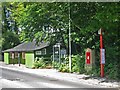
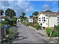
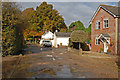
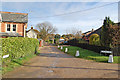
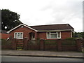
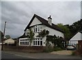
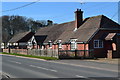
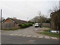
35 photos from this area
Area Information
Key information about the SP6 3RD including its size, population, and administrative classification.
- Area Type
- Postcode
- Area Size
- 2.2 hectares
- Population
- 1541
- Population Density
- 1202 people/km²
House Prices in SP6 3RD
25
Properties
£452,529
Average Sold Price
£116,000
Lowest Price
£697,500
Highest Price
Showing 25 properties
| Address | Type | Beds | Baths | Last Sale Price | Last Sale Date | |
|---|---|---|---|---|---|---|
| 70 Station Road, Alderholt, SP6 3RD | house | - | - | £585,000 | Feb 2025 | |
| 106 Station Road, Alderholt, SP6 3RD | Bungalow | 2 | 1 | £372,500 | Jan 2024 | |
| 104 Station Road, Alderholt, SP6 3RD | Bungalow | 4 | 3 | £657,500 | Mar 2023 | |
| 110 Station Road, Alderholt, SP6 3RD | Bungalow | 4 | 2 | £480,000 | Dec 2022 | |
| 84 Station Road, Alderholt, SP6 3RD | house | - | - | £610,000 | Aug 2022 | |
| 100 Station Road, Alderholt, SP6 3RD | house | - | - | £352,000 | Apr 2022 | |
| 78 Station Road, Alderholt, SP6 3RD | Detached | 4 | - | £650,000 | Dec 2021 | |
| 94 Station Road, Alderholt, SP6 3RD | Bungalow | - | - | £485,000 | Jun 2021 | |
| 76 Station Road, Alderholt, SP6 3RD | Detached | 4 | 1 | £550,000 | Feb 2021 | |
| 80 Station Road, Alderholt, SP6 3RD | Bungalow | - | - | £517,500 | Oct 2019 |
Page 1 of 3
Energy Efficiency in SP6 3RD
Amenities
Schools
| Rank | School | Type | Entry gender | Ages |
|---|
Explore more schools in this area
Go to Schools tabDemographics
Household Size
Two person
most common
Accommodation Type
Houses
most common
Tenure
95
majority
Ethnic Group
White
most common
Religion
N/A
most common
Household Composition
N/A
most common
Age
47
median
Adults (30-64 years)
most common
Household Deprivation
N/A
with no deprivation
NS-SEC
41
in Lower managerial occupations
Explore more demographic insights in this area
Go to Demographics tabPlanning
Planning Constraints
- Flood RiskPremium
- Ramsar Wetland SitesPremium
- Area of Outstanding Natural BeautyPremium
- Protected Nature ReservePremium
- Protected WoodlandPremium