Area Overview for SP6 3HF
Photos of SP6 3HF
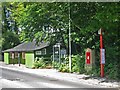
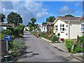
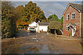
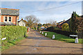
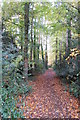
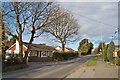
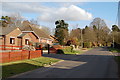
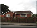
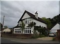
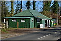
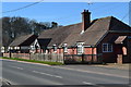
35 photos from this area
Area Information
Key information about the SP6 3HF including its size, population, and administrative classification.
- Area Type
- Postcode
- Area Size
- 4677 m²
- Population
- 1541
- Population Density
- 1202 people/km²
House Prices in SP6 3HF
12
Properties
£221,411
Average Sold Price
£68,500
Lowest Price
£362,500
Highest Price
Showing 12 properties
| Address | Type | Beds | Baths | Last Sale Price | Last Sale Date | |
|---|---|---|---|---|---|---|
| 11 Green Drive, Alderholt, SP6 3HF | house | - | - | £335,000 | Jun 2021 | |
| 10 Green Drive, Alderholt, SP6 3HF | house | 4 | 1 | £319,950 | Aug 2020 | |
| 1 Green Drive, Alderholt, SP6 3HF | Detached | 4 | 2 | £362,500 | Sep 2019 | |
| 8 Green Drive, Alderholt, SP6 3HF | Detached | - | - | £238,000 | Dec 2007 | |
| 2 Green Drive, Alderholt, SP6 3HF | Detached | - | - | £226,000 | Jun 2007 | |
| 15 Green Drive, Alderholt, SP6 3HF | Detached | - | - | £238,250 | Feb 2007 | |
| 4 Green Drive, Alderholt, SP6 3HF | Detached | - | - | £112,000 | Nov 1999 | |
| 7 Green Drive, Alderholt, SP6 3HF | Detached | - | - | £92,500 | Oct 1998 | |
| 3 Green Drive, Alderholt, SP6 3HF | house | - | - | £68,500 | May 1996 | |
| 9 Green Drive, Alderholt, SP6 3HF | Detached | - | - | - | - |
Page 1 of 2
Energy Efficiency in SP6 3HF
Amenities
Schools
| Rank | School | Type | Entry gender | Ages |
|---|
Explore more schools in this area
Go to Schools tabDemographics
Household Size
Two person
most common
Accommodation Type
Houses
most common
Tenure
95
majority
Ethnic Group
White
most common
Religion
N/A
most common
Household Composition
N/A
most common
Age
47
median
Adults (30-64 years)
most common
Household Deprivation
N/A
with no deprivation
NS-SEC
41
in Lower managerial occupations
Explore more demographic insights in this area
Go to Demographics tabPlanning
Planning Constraints
- Flood RiskPremium
- Ramsar Wetland SitesPremium
- Area of Outstanding Natural BeautyPremium
- Protected Nature ReservePremium
- Protected WoodlandPremium