Area Overview for SP5 5ND
Photos of SP5 5ND
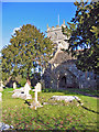
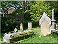
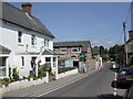
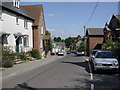
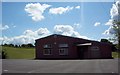
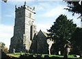
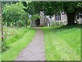
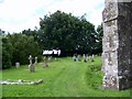
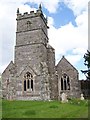
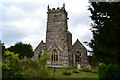
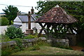
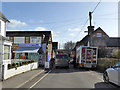
64 photos from this area
Area Information
Key information about the SP5 5ND including its size, population, and administrative classification.
- Area Type
- Postcode
- Area Size
- 13.4 hectares
- Population
- 1419
- Population Density
- 40 people/km²
House Prices in SP5 5ND
45
Properties
£331,474
Average Sold Price
£70,000
Lowest Price
£675,000
Highest Price
Showing 45 properties
| Address | Type | Beds | Baths | Last Sale Price | Last Sale Date | |
|---|---|---|---|---|---|---|
| 71 High Street, Sixpenny Handley, SP5 5ND | house | 4 | 2 | £445,000 | Mar 2025 | |
| 52 High Street, Sixpenny Handley, SP5 5ND | house | - | - | £298,000 | Feb 2022 | |
| 43 High Street, Sixpenny Handley, SP5 5ND | house | - | - | £335,000 | Aug 2021 | |
| 50 High Street, Sixpenny Handley, SP5 5ND | Flat | - | - | £95,000 | Jun 2021 | |
| 42 High Street, Sixpenny Handley, SP5 5ND | Detached | 5 | 3 | £580,000 | Feb 2021 | |
| 63 High Street, Sixpenny Handley, SP5 5ND | Terraced | 2 | 1 | £232,000 | Apr 2020 | |
| 65 High Street, Sixpenny Handley, SP5 5ND | Terraced | 2 | 1 | £260,000 | Nov 2019 | |
| 38 High Street, Sixpenny Handley, SP5 5ND | house | - | - | £237,500 | Aug 2019 | |
| 69 High Street, Sixpenny Handley, SP5 5ND | Detached | 5 | 4 | £570,000 | Jan 2018 | |
| 67 High Street, Sixpenny Handley, SP5 5ND | Detached | 4 | 2 | £580,000 | Sep 2017 |
Page 1 of 5
Energy Efficiency in SP5 5ND
Amenities
Schools
| Rank | School | Type | Entry gender | Ages |
|---|
Explore more schools in this area
Go to Schools tabDemographics
Household Size
Two person
most common
Accommodation Type
Houses
most common
Tenure
65
majority
Ethnic Group
White
most common
Religion
N/A
most common
Household Composition
N/A
most common
Age
47
median
Adults (30-64 years)
most common
Household Deprivation
N/A
with no deprivation
NS-SEC
37
in Lower managerial occupations
Explore more demographic insights in this area
Go to Demographics tabPlanning
Planning Constraints
- Flood RiskPremium
- Ramsar Wetland SitesPremium
- Area of Outstanding Natural BeautyPremium
- Protected Nature ReservePremium
- Protected WoodlandPremium