Area Overview for SP5 5JS
Photos of SP5 5JS
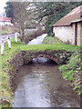
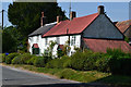
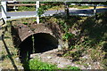
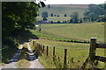
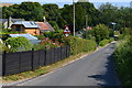
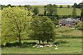
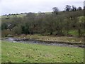
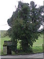
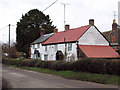
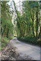
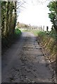
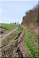
19 photos from this area
Area Information
Key information about the SP5 5JS including its size, population, and administrative classification.
- Area Type
- Postcode
- Area Size
- 27.6 hectares
- Population
- 1952
- Population Density
- 24 people/km²
House Prices in SP5 5JS
8
Properties
£532,500
Average Sold Price
£187,500
Lowest Price
£1,025,000
Highest Price
Showing 8 properties
| Address | Type | Beds | Baths | Last Sale Price | Last Sale Date | |
|---|---|---|---|---|---|---|
| Ebbleside, West End, Ebbesbourne Wake, SP5 5JS | Detached | 4 | 3 | £1,025,000 | Nov 2023 | |
| Badgers Glory, West End, Ebbesbourne Wake, SP5 5JS | Semi-detached | - | - | £385,000 | Jul 2013 | |
| Brooklands Farm, West End, Ebbesbourne Wake, SP5 5JS | Semi-detached | - | - | £187,500 | Sep 1998 | |
| Monk Garron, West End, Ebbesbourne Wake, SP5 5JS | Equestrian | 4 | 3 | - | - | |
| Mychelle, West End, Ebbesbourne Wake, SP5 5JS | Semi-detached | - | - | - | - | |
| Riverdale, West End, Ebbesbourne Wake, SP5 5JS | Semi-detached | - | - | - | - | |
| Westend Cottage, West End, Ebbesbourne Wake, SP5 5JS | Semi-detached | - | - | - | - | |
| Homestead, West End, Ebbesbourne Wake, SP5 5JS | Semi-detached | - | - | - | - |
Energy Efficiency in SP5 5JS
Amenities
Schools
| Rank | School | Type | Entry gender | Ages |
|---|
Explore more schools in this area
Go to Schools tabDemographics
Household Size
Two person
most common
Accommodation Type
Houses
most common
Tenure
68
majority
Ethnic Group
White
most common
Religion
N/A
most common
Household Composition
N/A
most common
Age
47
median
Adults (30-64 years)
most common
Household Deprivation
N/A
with no deprivation
NS-SEC
44
in Lower managerial occupations
Explore more demographic insights in this area
Go to Demographics tabPlanning
Planning Constraints
- Flood RiskPremium
- Ramsar Wetland SitesPremium
- Area of Outstanding Natural BeautyPremium
- Protected Nature ReservePremium
- Protected WoodlandPremium