Area Overview for SP5 3SD
Photos of SP5 3SD
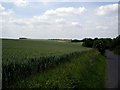
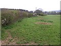
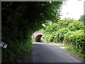
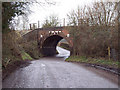
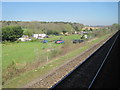
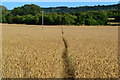
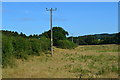
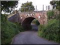
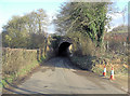
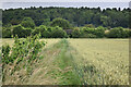
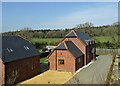
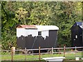
13 photos from this area
Area Information
Key information about the SP5 3SD including its size, population, and administrative classification.
- Area Type
- Postcode
- Area Size
- 68.0 hectares
- Population
- 1200
- Population Density
- 92 people/km²
House Prices in SP5 3SD
12
Properties
£590,000
Average Sold Price
£385,000
Lowest Price
£795,000
Highest Price
Showing 12 properties
| Address | Type | Beds | Baths | Last Sale Price | Last Sale Date | |
|---|---|---|---|---|---|---|
| Manor Cottage, Junction With Butterfurlong Road South To Trinity Church, East Grimstead, SP5 3SD | Cottage | 3 | 1 | £385,000 | Aug 2016 | |
| Springfield House, Junction With Butterfurlong Road South To Trinity Church, East Grimstead, SP5 3SD | Detached | 4 | - | £795,000 | Jul 2015 | |
| 6 Dean Road, East Grimstead, SP5 3SD | Land | 3 | 1 | - | - | |
| 5 Dean Road, East Grimstead, SP5 3SD | Land | - | - | - | - | |
| Kingfisher Cottage, Dean Road, East Grimstead, SP5 3SD | house | 4 | 1 | - | - | |
| 7 Dean Road, East Grimstead, SP5 3SD | Mobile Home | - | - | - | - | |
| 1, Dillons Farm, Dean Road, East Grimstead, SP5 3SD | Mobile Home | - | - | - | - | |
| 2, Dillons Farm, Dean Road, East Grimstead, SP5 3SD | Mobile Home | - | - | - | - | |
| Valley View, Dean Road, East Grimstead, SP5 3SD | Detached | - | - | - | - | |
| 4 Dean Road, East Grimstead, SP5 3SD | Detached | - | - | - | - |
Page 1 of 2
Energy Efficiency in SP5 3SD
Amenities
Schools
| Rank | School | Type | Entry gender | Ages |
|---|
Explore more schools in this area
Go to Schools tabDemographics
Household Size
Two person
most common
Accommodation Type
Houses
most common
Tenure
70
majority
Ethnic Group
White
most common
Religion
N/A
most common
Household Composition
N/A
most common
Age
47
median
Adults (30-64 years)
most common
Household Deprivation
N/A
with no deprivation
NS-SEC
39
in Lower managerial occupations
Explore more demographic insights in this area
Go to Demographics tabPlanning
Planning Constraints
- Flood RiskPremium
- Ramsar Wetland SitesPremium
- Area of Outstanding Natural BeautyPremium
- Protected Nature ReservePremium
- Protected WoodlandPremium