Area Overview for SP5 3NG
Photos of SP5 3NG
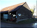
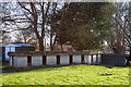
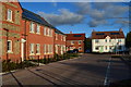
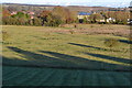
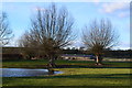
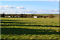
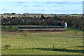
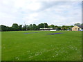
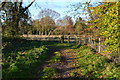
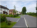
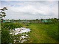
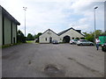
22 photos from this area
Area Information
Key information about the SP5 3NG including its size, population, and administrative classification.
- Area Type
- Postcode
- Area Size
- 2.2 hectares
- Population
- 1875
- Population Density
- 69 people/km²
House Prices in SP5 3NG
53
Properties
£236,511
Average Sold Price
£76,000
Lowest Price
£425,000
Highest Price
Showing 53 properties
| Address | Type | Beds | Baths | Last Sale Price | Last Sale Date | |
|---|---|---|---|---|---|---|
| 11A Greenacres, Downton, SP5 3NG | Detached | 5 | 3 | £365,000 | Nov 2025 | |
| 52 Greenacres, Downton, SP5 3NG | Semi-detached | 3 | 1 | £347,000 | Jun 2025 | |
| 28 Greenacres, Downton, SP5 3NG | Bungalow | - | - | £240,000 | Jul 2024 | |
| 42 Greenacres, Downton, SP5 3NG | Detached | 3 | 2 | £330,000 | Oct 2022 | |
| 11 Greenacres, Downton, SP5 3NG | Semi-detached | 4 | 1 | £425,000 | Aug 2022 | |
| 56 Greenacres, Downton, SP5 3NG | house | - | - | £298,000 | Nov 2021 | |
| 62 Greenacres, Downton, SP5 3NG | house | - | - | £315,000 | Sep 2021 | |
| 1 Greenacres, Downton, SP5 3NG | house | 3 | 1 | £298,000 | Apr 2021 | |
| 7 Greenacres, Downton, SP5 3NG | house | - | - | £305,000 | May 2020 | |
| 18 Greenacres, Downton, SP5 3NG | Semi-detached | 2 | 1 | £235,000 | Dec 2019 |
Page 1 of 6
Energy Efficiency in SP5 3NG
Amenities
Schools
| Rank | School | Type | Entry gender | Ages |
|---|
Explore more schools in this area
Go to Schools tabDemographics
Household Size
Two person
most common
Accommodation Type
Houses
most common
Tenure
74
majority
Ethnic Group
White
most common
Religion
N/A
most common
Household Composition
N/A
most common
Age
47
median
Adults (30-64 years)
most common
Household Deprivation
N/A
with no deprivation
NS-SEC
44
in Lower managerial occupations
Explore more demographic insights in this area
Go to Demographics tabPlanning
Planning Constraints
- Flood RiskPremium
- Ramsar Wetland SitesPremium
- Area of Outstanding Natural BeautyPremium
- Protected Nature ReservePremium
- Protected WoodlandPremium